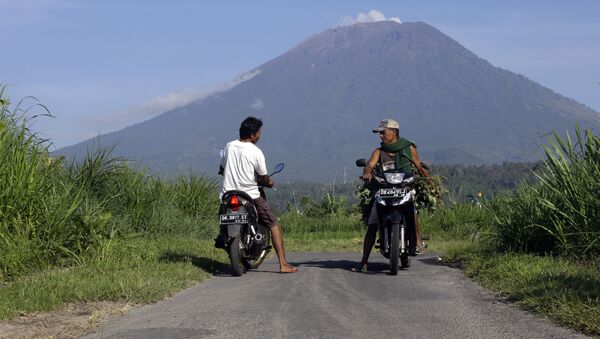
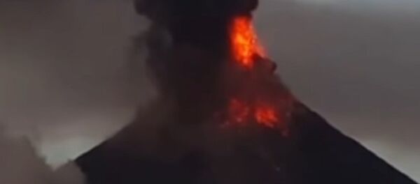
According to the Indonesian National Board for Disaster Management, the most recent eruption, which began at 11:49 a.m. local time, spewed a thick pillar of smoke as high as 1 mile into the air. No additional eruptions followed.
Although the eruption did not disrupt any flights, ash lightly carpeted the community of Pandan Sari in Karangasem Regency, the eastern Bali district where Mount Agung is located.
— Sutopo Purwo Nugroho (@Sutopo_PN) February 13, 2018
"The airport's operations continue to run as normal and no effects have been seen," said I Gusti Ngurah Rai International Airport spokesperson Arie Ahsanurrohim, Channel News Asia reported.
The Volcanology and Geological Disaster Mitigation Agency still recommends a 4-kilometer exclusive zone around the volcano's crater. The status of the volcanic eruptions remains at Level III (standby) after it was lowered from Level IV (hazardous) last Saturday.
In December, the eruption of Mount Agung resulted in the evacuation of residents around the volcano and disrupted the flights of thousands of tourists on the island.
Indonesia straddles the Pacific Ring of Fire, an active geological area in the basin of the Pacific Ocean where earthquakes and volcanic eruptions are frequent. It is associated with 90 percent of the world's seismic activity, according to the US Geological Survey.


