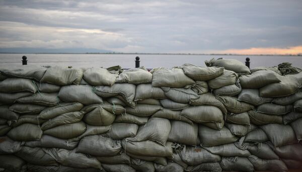
MOSCOW, August 24 (RIA Novosti) – Russia’s Emergencies Ministry has placed flood barriers in the city of Khabarovsk in the country’s Far East under round-the-clock watch to help monitor water levels and identify breaches as soon as they happen, a local branch of the ministry said Saturday in a statement.
The statement noted the “complex flooding situation” in parts of Khabarovsk nearest the Amur River, and said that newly built flood barriers would be placed on round-the-clock watch to ensure that any breach is identified, repaired and reported as soon as it happens, the statement said.
According to the latest figures from Russia’s Far East Development Ministry, 85,000 people are living in areas currently affected by the flooding in the country’s Amur basin. The floods are the worst the region has seen in the past decade.
As of Saturday morning, 1,500 people have been evacuated from Khabarovsk and nearby flood-hit areas – 336 of them in the past 24 hours, local officials said.
Some local residents in the village of Krasnaya Rechka near Khabarovsk fear looters raiding their properties if they accept offers of evacuation, and so have decided to stay on in their houses, living on the roof, RIA Novosti reported Saturday.
Also on Saturday, a group of 24 doctors set off from Moscow for Khabarovsk, to help treat local residents who are affected by the floods, an Emergencies Ministry spokesperson said, adding that they took a mobile field hospital with them.
A total of 83 rescue workers and 29 boats have also been sent from Yekaterinburg, an Emergencies Ministry spokesperson said Saturday.
On Saturday evening, Moscow time, Russian media reported that the dams that form the backbone of Khabarovsk's flood defenses were being built up - to 9 meters. Residents are being selectively evacuated from the parts of the city that are most at risk, local media report.
Hundreds of cities, towns, and villages in far eastern regions of Russia have been affected by the floods, and tens of thousands of people have been evacuated.
Updated with detail on dam height and evacuation


