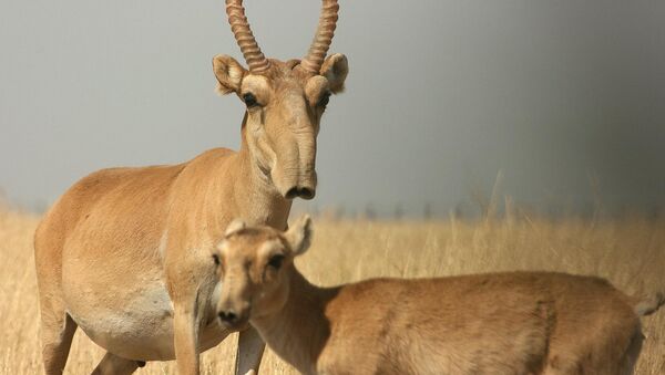
Using the satellite imagery, taken between 2009 and 2014 by a variety of commercial observation satellites, scientists have been able to determine the population, distribution and movement patterns of the saiga in the northwest Caspian Lowlands in the Republic of Kalmykia and the Astrakhan region, where their numbers are about 5,000.
The use of satellite imagery, so far on a trial basis, has helped to count and track the animals in a highly accurate and non-invasive way, compared with more traditional methods such as using helicopters or ground vehicles for counting by hand. It has also helped scientists to understand the factors affecting the saiga, including the distribution of local livestock, as well as plant cover conditions.
The data proved useful in determining not just the number of animals, but also their distribution across large areas, up to an area of 20x40 sq. km at once, as well as distance from other herds and animals. It also helped to determine the average number of animals in each herd, their average distance from one another within a heard, and their general geographic behavior. Distribution patterns helped to indicate whether the animals were grazing or moving.
The results, published in the study “On the Possibility to Identify the Saiga Antelope (Saiga tatarica) on Very-High Resolution Satellite Images,” can be found in the journal Doklady Biological Sciences. The study was conducted with assistance from the Saiga Conservation Alliance, a partner of the Wildlife Conservation Network, and the US Fish and Wildlife Service.
Anna Yachmennikova of the Severtsov Institute told Sputnik that the saiga face an “ecological crisis” in Russia, and that the government has introduced fines of up to 2 million rubles (about $41,625 US) or 7 years in prison for illegal hunting of the antelope. Strict conservation efforts have been introduced in Kazakhstan, which has banned hunting the saiga until at least 2021, and its Russian populations currently inhabit nature preserves.


