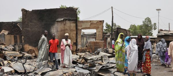
“These detailed images show devastation of catastrophic proportions in two towns, one of which was almost wiped off the map in the space of four days,” Nigeria researcher for Amnesty International Daniel Eyre was quoted as saying in the statement.
#Nigeria: Satellite images show horrific scale of Boko Haram attack. http://t.co/kjB6urMca0 #BagaKillings pic.twitter.com/QW3BnQwMXI
— AmnestyInternational (@amnesty) January 15, 2015
Eyre added that last week's attacks in Baga and Doron Baga by Boko Haram were the largest and most destructive assault the group has ever carried out.
Amnesty estimated that some 2,000 people may have been killed by Boko Haram in the two towns between January 3-7, after the group engaged in the indiscriminate killing of civilians including women and children, forcibly displacing thousands and burning property. The Nigerian government, however, estimated the death toll to be only 150.
According to the statement, the group is currently targeting communities believed to be collaborating with state-sponsored security forces, including an anti-Boko Haram militia group known as the Civilian Joint Task Forces (Civilian JTF).
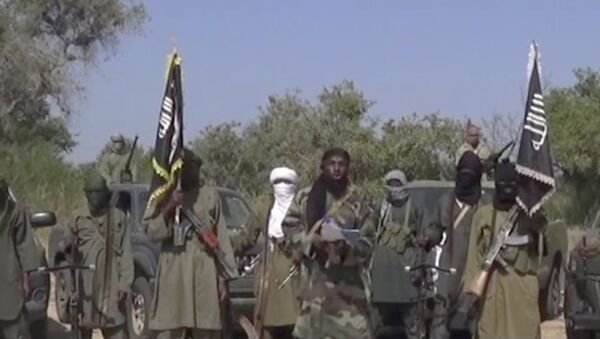
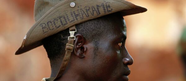
The Boko Haram militant group was formed in 2002 with the intention of overthrowing the Nigerian government and establishing an Islamic state under sharia law. Since 2009 the group has expanded its operations across the northeastern part of the country, killing more than 5,000 people, and carrying out suicide attacks and abductions.


