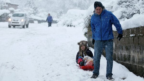
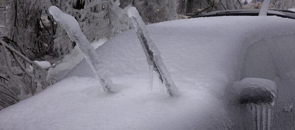
"A cold and unstable northwesterly airflow will bring frequent showers to many northwestern parts of the UK, these turning to sleet and snow quite widely," a Met Office spokesperson said.
"An organized band of sleet and snow showers will reach Northern Scotland on Saturday evening, this spreading south to reach Southeast Scotland in the early hours of Sunday," the spokesperson added.
As much as 10-15 centimeters of snow are expected in some areas in Britain, with the temperature in the capital London due to drop to below —6 degrees centigrade overnight.
In the next couple of hours, temperatures will plummet with lows of —10 degrees centigrade expected in the north and —3 elsewhere.
The current dramatic fall in temperature makes it the coldest spell of weather in England for two years, forecasters said.
Meanwhile, the Local Government Association has said that councils are poised and ready to grapple with the cold snap so as to prevent traffic from being disrupted.
"As well as gritting our roads and clearing snow, council teams are ready to provide a variety of services to help the vulnerable deal with severe winter weather," the Local Government Association's transport spokesman Peter Box said.
On Friday, US scientists said that 2014 was the hottest year on record, something that was separately confirmed by NASA and America’s National Oceanic and Atmospheric Administration.


