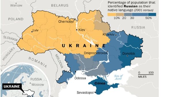
A Polish state promotional leaflet introduced a map of Ukraine divided into two parts — Eastern and Western, newspaper Gazeta Wyborcza reported.
The newspaper notes that the mistake occurred because the color of the Dnieper River flowing through Ukraine was the same color as the state borders between countries. Thus Ukraine seemed split into two parts.
Blogger Ana Matusevic posted the map on her account, sparking a debate on social media.
Jesteśmy w gościach w u.marszałkowskim i Ukraińcy zwrócili uwagę na oficjalne materiały… Jestem b zaskoczona pic.twitter.com/l4SZ8zkoO0
— Ana Matusevic (@anamatusevic) 24 апреля 2015
Polish journalists addressed the local Pomerania Province for commentary. The authorities turned the tables on the company that printed the leaflets.
However, the EU Association Agreement signed by Kiev suggests that Ukraine has to settle property disputes with Poland.
Some Polish analysts say that Kiev might even have to give away five western regions to Warsaw.


