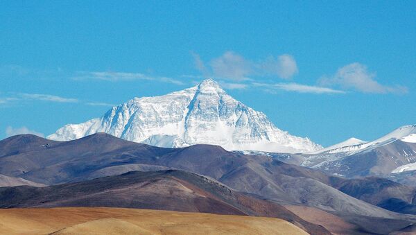
The world’s tallest mountain shrank by about an inch in the quake, The Huffington Post reported Saturday.
The analysis is based on data from the European Space Agency Sentinel-1A satellite, which passed over the affected area for the first time on April 29.
When the fault between the India and Eurasia tectonic plates slipped, causing the earthquake, strain was released that allowed the Earth’s crust to relax, which, in turn, led to a slight reduction of the height of Mt. Everest.
Simultaneously, the Annapurna Range, a mountain range located in central Nepal closer to the earthquake, actually grew by 20 centimeters, or roughly 8 inches, scientists said.


