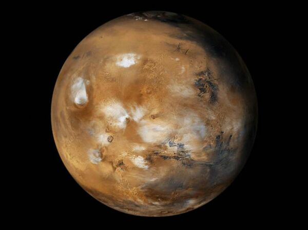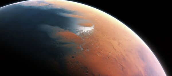
While Mars has visible, gleaming icecaps on its poles, scientists are starting to note a pattern of subterranean ice forming under the surface between those polar icecaps. As a result, details are emerging about the history of Martian climates that can help scientists determine what regions of the Martian landscape could have possibly been inhabited.
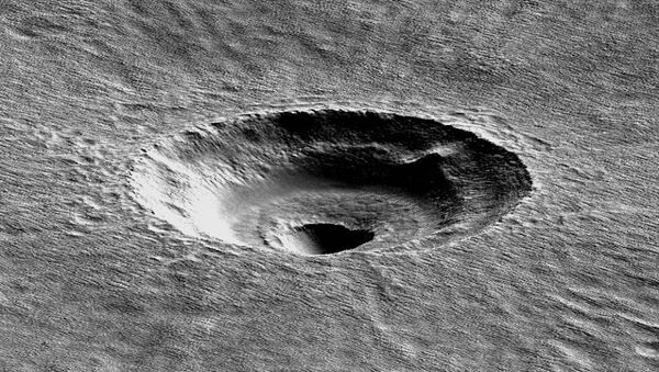
A team at the University of Arizona-Tucson scoped out some strange craters in a place known as Arcadia Planitia, located in relatively temperate latitudes compared to Earth. While these craters resulted from an extraterrestrial impact on Mars 'surface, the unusual terracing of the craters' walls raised a red flag for the UA-T team.
"It extends down to latitudes of 38 degrees,” study lead author Ali Bramson told Space.com. “This would be like someone in Kansas digging in their backyard and finding ice as thick as a 13-story building that covers an area the size of Texas and California combined."
Data from NASA’s High Resolution Imaging Science Experiment camera (HiRISE) onboard the Mars Reconnaissance Orbiter to model the depths of the craters, and shallow radar (SHARAD) that determined the terraces’ soil composition pointed consistently to the existence of the 40-meter thick slab of ice just underneath the surface of the planet. Scientists expect the ice is likely the result of weather from tens of millions of years ago, an Earth-like era during either the Paleogene of Neogene ages.
The big question that remains is how this ice has managed to stay in its current state for so long, and whether this could mean that there are heated subterranean aquifers — potentially supporting Martian life — underneath the ice.


