According to recent NASA reports, the volume Arctic sea ice has been steadily decreasing for two years in a row.
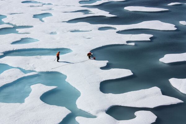
© Photo : NASA Goddard Space Flight CenterAs ice melts, the liquid water collects in depressions on the surface and deepens them, forming these melt ponds in the Arctic.
As ice melts, the liquid water collects in depressions on the surface and deepens them, forming these melt ponds in the Arctic.
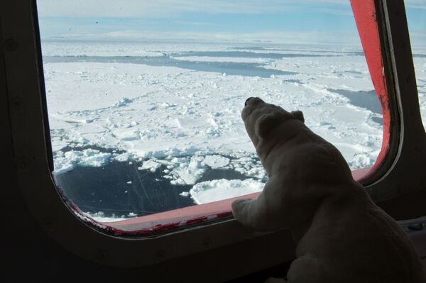
© Sputnik / Valeriy MelnikovThe bridge of the Yamal nuclear-powered icebreaker during the Kara-Winter 2015 scientific expedition aimed at studying the ice floe in Russia's Arctic reaches.
2/9
© Sputnik / Valeriy Melnikov
The bridge of the Yamal nuclear-powered icebreaker during the Kara-Winter 2015 scientific expedition aimed at studying the ice floe in Russia's Arctic reaches.
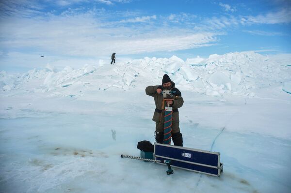
© Sputnik / Valeriy MelnikovParticipants of the Kara-Winter 2015 scientific expedition.
3/9
© Sputnik / Valeriy Melnikov
Participants of the Kara-Winter 2015 scientific expedition.
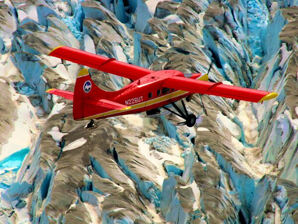
© Photo : NASA/Chris Larsen, University of Alaska-FairbanksA DHC-3 Otter aircraft surveys of mountain glaciers in Alaska as part of NASA's Operation IceBridge.
A DHC-3 Otter aircraft surveys of mountain glaciers in Alaska as part of NASA's Operation IceBridge.
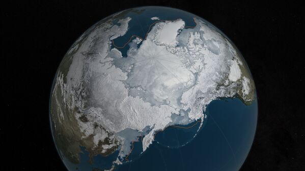
© Photo : NASA Goddard's Scientific Visualization Studio/C. StarrArctic sea ice was at a record low wintertime maximum extent for the second straight year.
Arctic sea ice was at a record low wintertime maximum extent for the second straight year.
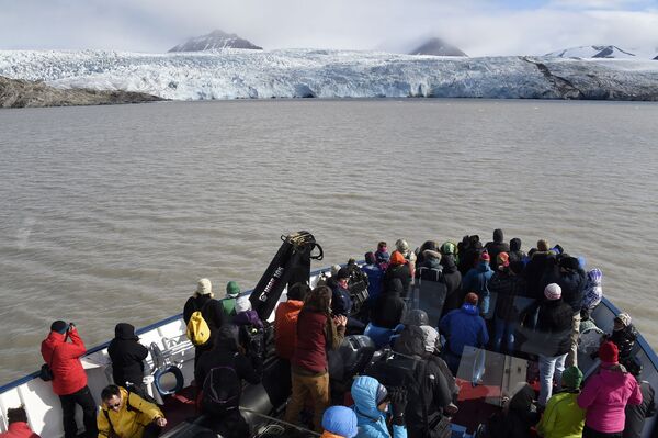
© AFP 2023 / Dominique FagetTourists look out at the Nordenskjoldbreen glacier in the Spitbergen province of the Svalbard archipelago in the Arctic Ocean. July 19, 2015.
Tourists look out at the Nordenskjoldbreen glacier in the Spitbergen province of the Svalbard archipelago in the Arctic Ocean. July 19, 2015.
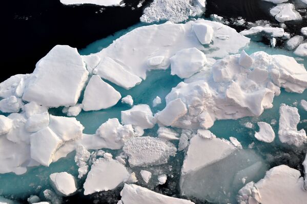
© Photo : U.S. Geological SurveyAn ice floe slides down the starboard side of the Coast Guard cutter Healy navigating the Arctic Ocean. August 19, 2009.
An ice floe slides down the starboard side of the Coast Guard cutter Healy navigating the Arctic Ocean. August 19, 2009.
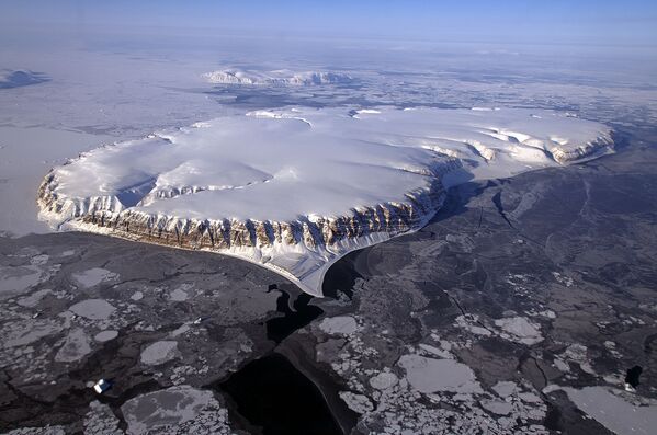
© Photo : NASA / Michael StudingerSaunders Island and Wolstenholme Fjord with Kap Atholl in the background.
Saunders Island and Wolstenholme Fjord with Kap Atholl in the background.
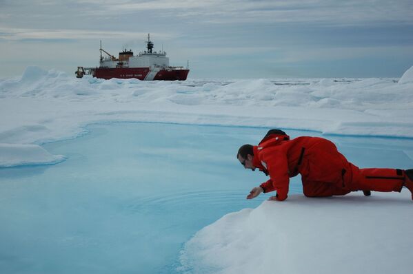
© Photo : NOAA Photo LibraryScientist testing the waters, with USCG Icebreaker HEALY seen in the background. Arctic Ocean, Canada Basin. July 24, 2005.
9/9
© Photo : NOAA Photo Library
Scientist testing the waters, with USCG Icebreaker HEALY seen in the background. Arctic Ocean, Canada Basin. July 24, 2005.