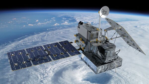
“Official country-to-country statistics are not always available, and are sometimes intentionally distorted, especially when it comes to developing countries. Satellite imagery is always objective and, with the use of or World Evolution technology, it can now be automatically processed to produce unified results,” SOVZOND deputy director Milana Elerdova said.
What makes World Evolution so special is that it captures the gradual changes in the processes and events happening on Earth enabling scientists to make forecasts for the future.
The World Evolution system contains information about the entire territory of Russia and shows changes in the country’s socio-economic structure which happened between 2000 and 2014.
“Foreign partners and investors are very likely to get interested, but we would prefer to see Russian companies working as our main partners. We hope that our project will give a boost to the global sales of Russian satellite images of the Earth’s surface and we are going to enlist the help of the United Space Rocket Corporation in making this system work,” Elerdova added.
According to experts, the World Evolution will focus on making forecasts about where to place new logistical centers, major construction sites, assessing commercial demand for farmland and comparing the efficiency of industrial production in various parts of the world.


