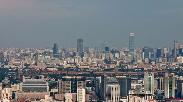
Beijing's use of water from this aquifer for industrial, agricultural and household activities has left the surface of the city sinking since 1935.
However, the pace at which it is sinking has accelerated as its population has increased. Beijing's population in 1935 was 5.6 million; it rose to 10.8 million by 1990.
In recent years, there has been even greater urban growth. In early 2016, the city's population reached an estimated 21.7 million, up from 19.6 million in 2010, and 13.6 million in 2000.
In a study published in the Remote Sensing journal, an international team of researchers used a radar technique used in remote sensing to generate maps of the city's surface and measure its descent.
"The Beijing region has been suffering from land subsidence due to over-exploitation of groundwater since 1935, and more seriously, the rate and extent of land subsidence shows an increasing trend. Land subsidence is a severe geohazard threating the safety of the public and urban infrastructure," they wrote.
The distribution of the sinking depends on fault lines in the ground beneath the city, and is worse in the east, north-east and northern parts of Beijing, where bowls of sinking ground have increased in size and gradually merged.
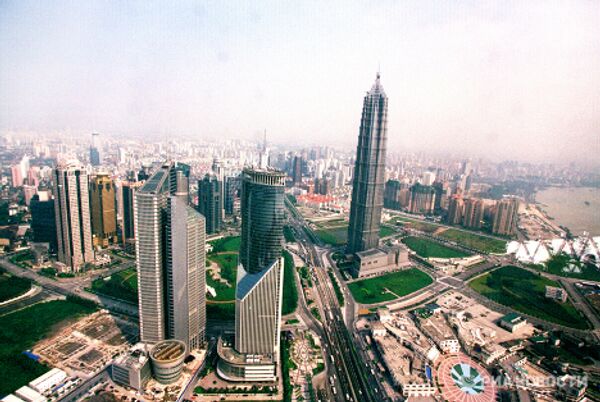
The cities of Shanghai, Tianjin and Taiyuan have sunk by more than two meters since the early 1900s as a result of the excessive pumping of groundwater.
The new infrastructure will use three canal systems to eventually channel 44.8 billion cubic meters of fresh water annually from the Yangtze River in southern China.


