US Intelligence Agency Releases First Unclassified Maps of Alaskan Arctic

© Sputnik / Alexander Liskin / Go to the mediabankView of Alaska
View of Alaska - Sputnik International
Subscribe
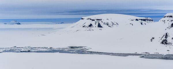
The US National Geospatial-Intelligence Agency (NGA) and the National Science Foundation (NSF) have released the first unclassified three dimensional topographic maps of the Alaskan Arctic region, the NGA said in a statement on Thursday.

WASHINGTON (Sputnik) — The NSF noted that they are the first unclassified digital elevation models of the Alaskan Arctic.

Kara-Winter 2015 Arctic expedition - Sputnik International
World
Russia to Set Up Over 10 Rescue Centers in Arctic by 2020 - Security Council

"The models will play an important role in informing policy and national security decisions," NGA Director Robert Cardillo stated. "They may also provide critical data and context for decisions related to climate resilience, land management, sustainable development, safe recreation and scientific research."

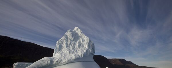
Iceberg floats in the sea near Qeqertarsuaq, Disko Island, Greenland - Sputnik International
Denmark Stakes on Drones and Greenlanders to Back its Arctic Claims
The models are based on 2-meter resolution images captured by commercial satellites. The technology allows for better polar mapping than imagery taken by aircraft, the NGA explained.

The maps were created following a 2015 directive from President Barack Obama that called for better coordination of national efforts in the Arctic.

Models of the entire Arctic are scheduled for release in 2017.
Newsfeed
0
To participate in the discussion
log in or register
loader
Chats
Заголовок открываемого материала