“An integrated study using glaciological, geodetic, glacio-hydrological methods will shed light on the glacial response to the changing climate in this region and will also quantify the contribution from glacial melt water to the river discharge in the Indus basin. The station will provide the much needed fillip to the scientific research on Himalayan glaciers and its hydrological contribution,” says Dr. M. Rajeevan, Secretary to the Ministry of Earth Sciences.
The base station is equipped with highly efficient glaciological tools that would help quantify glacier melt and glacier movements with the support of geodetic GPS systems in addition to many other studies.
“Researchers would be using this as a base for undertaking surveys using Terrestrial Laser Scanners and Unmanned Aerial Vehicles (UAV) that would digitize the glacier motion and snow cover variations with exceptional precision,” reads a statement released by India’s Ministry of Earth Sciences.
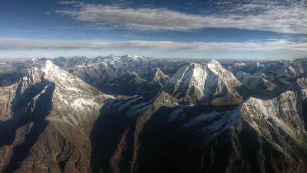
The Himalayan region has the largest concentration of glaciers outside the polar caps, and is the source of 10 major river systems that provide irrigation, power and drinking water to over 700 million people in India, Pakistan and Bangladesh.
Recently, India threatened Pakistan with a review of the decades old Indus Water Treaty following a terrorist attack at India’s army camp in Uri and the subsequent allegations against Pakistan of sponsoring terrorism. Despite this, the two countries continue to share a common concern on the issue of climate change.


