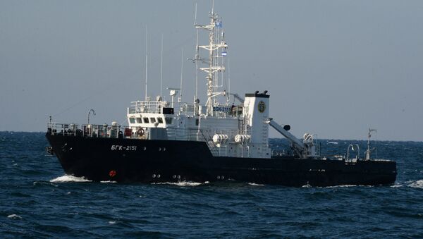
"The hydrography services of the Northern, Pacific, Baltic and Black Sea Fleets and the Caspian Flotilla have started the process of learning to use to the Krabik-BM radio surveying complex, which is a new, promising and high-precision specimen of equipment being supplied to the hydrography services departments of the Russian Navy," the ministry's communications department said in a statement.
Krabik-BM provides real-time geodetic data for hydrographic surveys and offshore and near-shore engineering work, as well as increasing the efficiency of dredging. The system, which automatically provides high-precision coordinates and movement vectors for both stationary and mobile marine objects, is a key component of forming a single navigational field for the navy. With a range of 150 kilometers (93 miles), Krabik-BM also supports offshore natural resource exploration and extraction operations, drilling rig towing and subsea cable laying.
Never miss a story again — sign up to our Telegram channel and we'll keep you up to speed!


