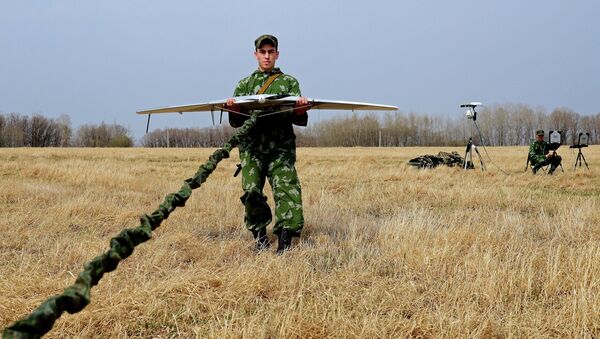
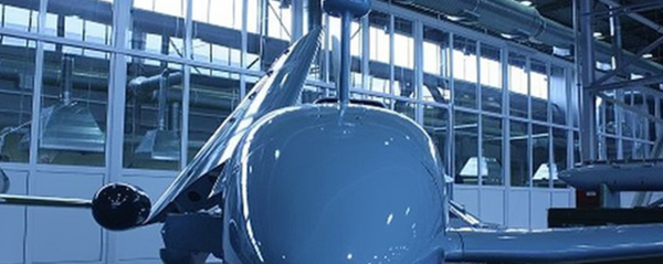
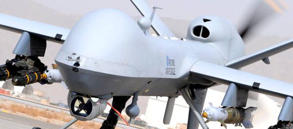
"This development will be able to significantly improve aerial surveys, which frequently require a lot of photographic mapping. This might be photography and video surveillance with a high level of detail, or geological exploration work," Peter Sharshavin, a lecturer at the university's Institute of Engineering, Physics and Radio Electronics and lead researcher on the project, said in a press release issued by the local administration of Krasnoyarsk Krai.
"The radio altimeter also has an 'autopilot' function for landing on unequipped runways. This will significantly improve the quality of exploration without increasing its cost," Sharshavin explained.
The radio altimeter developed at Siberian Federal University promises to be more accurate than most other height sensors.
However, they are generally not used for small manned aircraft or drones, since they are not accurate enough to provide useful information during the landing of small aircraft flying at approach and landing speeds merely one third or one fourth those of large jet aircraft.
At present, drones are usually fitted with a barometric altimeter, which estimates altitude based on a measurement of atmospheric pressure, or satellite sensors such as GLONASS or GPS. However, the accuracy of satellite sensors can vary significantly, and barometric measurements can be affected by moving air masses that alter atmospheric pressure.
Never miss a story again — sign up to our Telegram channel and we'll keep you up to speed!


