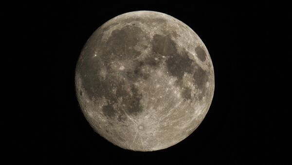
The tour begins in the moon's Orientale Basin, a crater about the size of Texas that NASA says is the "best-preserved impact structure on the moon." For the video tour, NASA combined its LRO data with gravity measurements from NASA's Gravity Recovery and Interior Laboratory (GRIAL) spacecraft.|
"This data reveals structure in the lunar crust beneath the surface, giving us a window into the geologic features of the moon's interior," the narrator explains.
The next stop is the moon's south pole, where several of LRO's tools have picked up signs of water ice.
Because the moon's axis is different from Earth's, some craters at the poles never see sunlight. They're also some of the coldest places ever measured in Earth's solar system. The cold and darkness make it impossible for any water that could have made its way into the crater to evaporate.
LRO was launched alongside the Lunar Crater Observation and Sensing Satellite, which NASA intentionally crashed into the moon's south pole in 2009. Its collision revealed significant amounts of water ice.
The tour makes stops at seven landmarks, the most familiar of which is probably the Apollo 17 landing site. Apollo 17, which landed in 1972, was the most recent manned mission there.
Remarkably, the Orbiter's camera was able to view the bottom half of the Apollo 17 Lunar Lander and the Rover vehicle, even though they sit in the moon's Taurus-Littrow valley, which is deeper than Earth's Grand Canyon.
— CNN Newsroom (@CNNnewsroom) December 11, 2017
The LRO is also surveying Earth's only natural satellite for possible sites for future manned missions. The spacecraft could pay off soon in that regard: US President Donald Trump's first space policy directive, which he signed alongside Apollo 17 astronaut Jack Schmitt.in December 2017, tasked NASA with returning to the moon before reaching Mars.


