
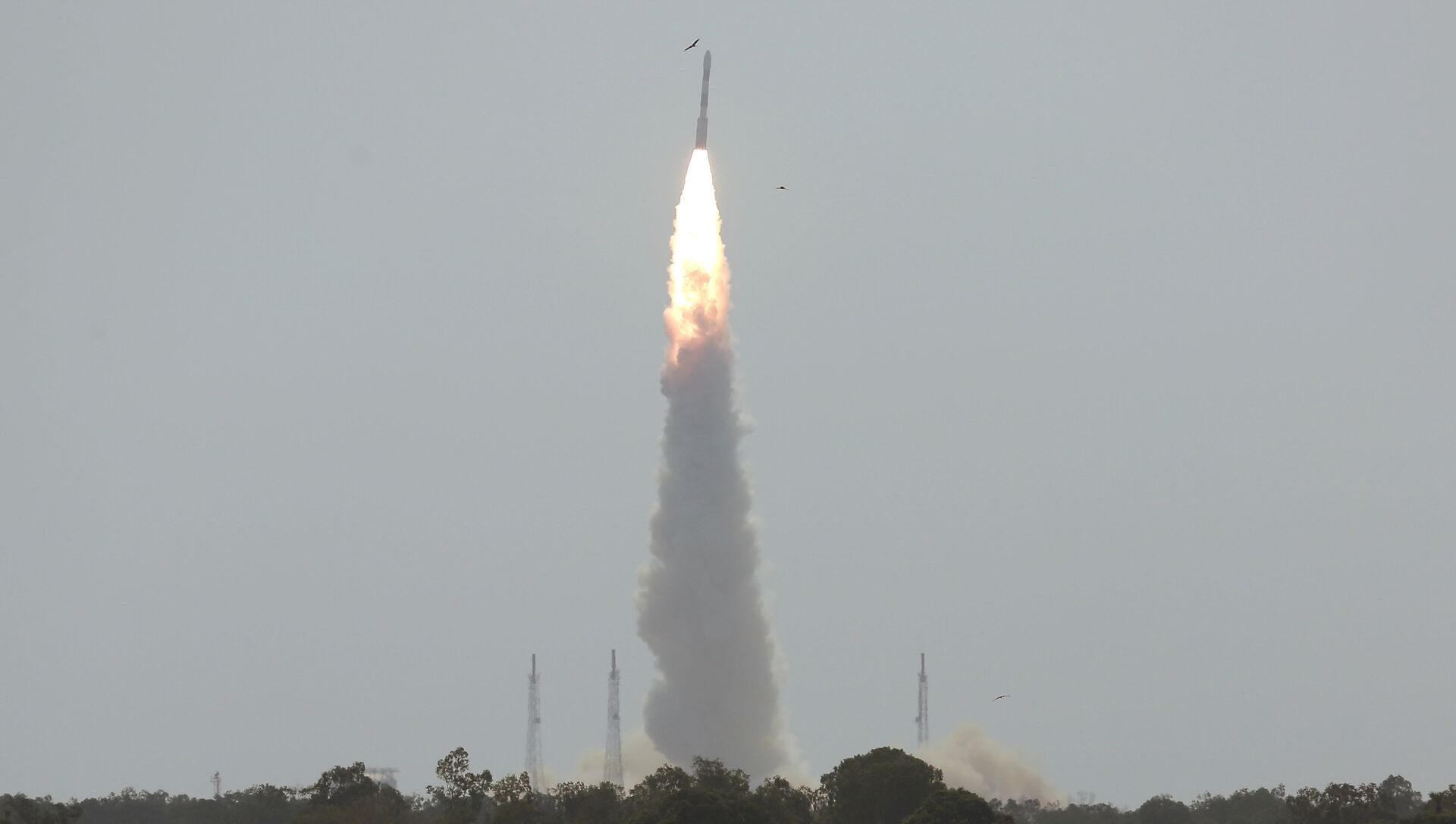
 C38, carrying Cartosat-2 and 30 other satellites, lifts off from the Satish Dhawan Space Centre in Sriharikota, India, June 23, 2017")
New Delhi (Sputnik): The Navigation with Indian Constellation (NavIC) — India's indigenous navigation and positioning system — has confronted unforeseen challenges ahead of its commercial rollout slated for the next few months.
According to the ISRO, the seven-satellite constellation sends signals in frequency bands of L5 (1176.45 MHz) and S-band (2492.08 MHz). The S-band frequency is utilized by NavIC for navigation systems, which are also shared by communication systems like long-term evolution (LTE), Bluetooth and wireless fidelity (Wi-Fi).
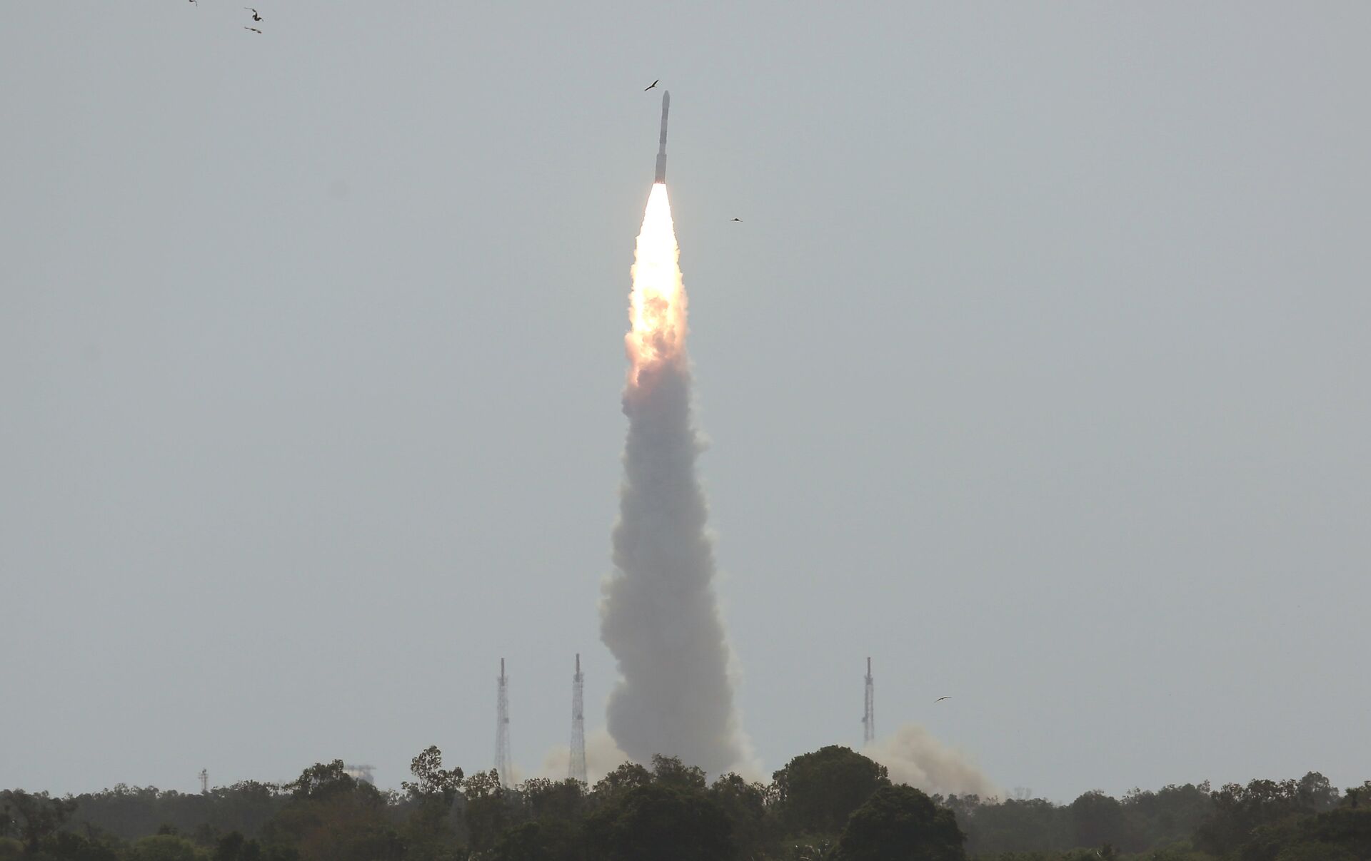
 C-39, carrying IRNSS-1H navigation satellite, lifts off from the Satish Dhawan Space Centre in Sriharikota, India, August 31, 2017")
"These interfering signals present a threat to the NavIC receiver performance. To equip both the facilities (WiFi and NavIC) in future cell phones, it will be a challenge to mitigate such kind of radio frequency interference," according to a study conducted by Dr. Shweta N Shah of the electronics engineering department at Sardar Vallabhbhai National Institute of Technology, Surat, and Darshna D. Jagiwala.
READ MORE: India’s Answer to GPS Runs Into Serious Technical Failures
In the experiment, the scientists found that a part of the S-band of NavIC systems overlaps the unlicensed band that is shared by other communication technologies like Bluetooth, Wi-Fi and Industrial Scientific Medical (ISM) bands.
In India, Wi-Fi signals are exempted from licensing in the frequency band ranging between 2400 and 2483.5 MHz. This means the usable part of any Wi-Fi system or channel in India must be contained within 2483.5 MHz.
"Residual or unintended signals normally go beyond this limit due to the basic characteristic of digital emissions. The NavIC signal is centered at 2492.08 MHz with a bandwidth of ± 8.25 MHz. This means that the lower part of NavIC signal can get interference from residual/unintended signals of Wi-Fi systems. Also, the upper part of the NavIC signal goes beyond 2500 MHz and since the frequency band above 2500 MHz is used for other purposes, NavIC receivers can pick up signals (and receive interference) from such other systems operating above 2500 MHz," explained Mr. Pawan Kumar Garg, a former wireless advisor to the Indian government, while speaking to India Science Wire.
")
The ISRO claimed that the NavIC is way more accurate than systems developed by its foreign competitors and would provide a standard positioning service for terrestrial, aerial and marine navigation, vehicle tracking and fleet management, mobile phones, visual and voice navigation for drivers, with a position accuracy of five meters. GPS, on the other hand, has a position accuracy of 20-30 meters.
READ MORE: India to Make Native Navigation System Mandatory For All Aircraft
The constellation of the navigation satellite was completed earlier this year with the successful replacement of one of the satellites within the Indian Regional Navigation Satellite System-1I (IRNSS-1I). This was the second attempt by ISRO to replace the faulty satellite since the first attempt was doomed due to the heat-shield failure of the Polar Satellite Launch Vehicle (PSLV) in August last year.

