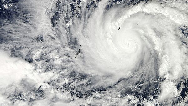
The 21st named storm of the Pacific Ocean's 2018 severe weather season, Typhoon Jebi has diminished marginally over the past 24 hours as it moves over slightly cooler water but is still seeing powerful winds up to 252 kph (156 mph) and barometric pressure readings of 935 Millibars, according to Japan's Meteorological Agency.
No further lessening of the storm's power is predicted and a landfall on Honshu is expected for early Tuesday, the agency said, cited by The Japan Times.
"Maintaining its very strong power, the typhoon is forecast to approach western and eastern Japan," the agency noted.
Record July rainfall saw flooding and landslides that killed some 220 in the Chugoku region — including the Hiroshima, Okayama, Shimane, Tottori, and Yamaguchi prefectures — in Japan's worst weather disaster in many years. The same area will soon bear the brunt of Jebi's onslaught.
Considered by many meteorologists to be the strongest Pacific storm of the season to date, Jebi is still several hundreds of kilometers south of Japan but is churning northward at some 16 mph, according to Accuweather.
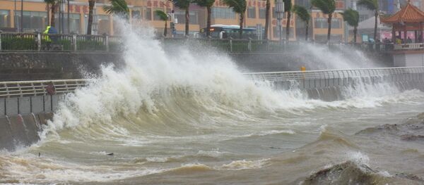
Residents in the affected regions have been urged by the Meteorological Agency to prepare for dangerously high waves and heavy flooding that could cause more landslides in already-soaked areas.
About 27,000 people in Nagato, Yamaguchi Prefecture, were evacuated Saturday after an unrelated torrential rainstorm caused flooding in the region.


