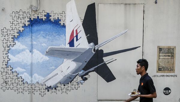
Google Maps has updated its satellite images of the Cambodian region where video producer Ian Wilson found the alleged crash site of Malaysian Airlines Flight MH370. The plane has remained at the same location on satellite images dating from 2017 and 2015 (according to Google Maps data), which could dispel the theory that the satellite caught an in-flight plane when it took the pictures.
At the same time, aviation expert Yijun Yu told The Daily Star that Google might be using old images and that the date stamps do not prove anything.
"If they cached the image since 2014, it is either the satellite they use never updated the datasets for four years, or there is a system glitch," Yijun Yu said.
Wilson is currently preparing for an on-the-ground mission to the alleged crash site, as he continues to believe that he has found the aircraft which mysteriously vanished in 2014. According to The Daily Star, he and his brother Jackie are planning to go into the Cambodian jungle where the lost Flight MH370 allegedly lies.
READ MORE: Briton Vows to 'Leave No Stone Unturned' in His Search for MH370 in Cambodia
Malaysia Airlines Flight MH370 with 239 passengers and crew on board disappeared from radar screens on March 8, 2014 during a handover from Malaysian to Vietnamese air traffic controllers while on its way from Kuala Lumpur to Beijing. After years of extensive searching, the Malaysian government admitted in July 2018 that they did not know what happened to the plane. The investigation team noted in its report that a technical failure had unlikely occurred and that the actions of the two pilots didn't suggest malicious intent.


