https://sputnikglobe.com/20190820/6-3-magnitude-earthquake-strikes-east-of-solomon-islands-1076592815.html
6.3-Magnitude Earthquake Strikes East of Solomon Islands - USGS
The epicentre of the earthquake was located at a depth of 76 kilometres (47 miles), 96 kilometres (57 miles) southeast of Lata, about 475 km (295 miles) north... 20.08.2019, Sputnik International
2019-08-20T13:13+0000
2023-02-09T13:08+0000
/html/head/meta[@name='og:title']/@content
/html/head/meta[@name='og:description']/@content
https://cdn1.img.sputnikglobe.com/img/107603/03/1076030325_0:91:3012:1785_1920x0_80_0_0_f7a072a867b58e6c8a01cf5cf177e056.jpg
solomon islands
Sputnik International
feedback@sputniknews.com
+74956456601
MIA „Rosiya Segodnya“
2019
Sputnik International
feedback@sputniknews.com
+74956456601
MIA „Rosiya Segodnya“
News
en_EN
Sputnik International
feedback@sputniknews.com
+74956456601
MIA „Rosiya Segodnya“
https://cdn1.img.sputnikglobe.com/img/107603/03/1076030325_256:0:2757:1876_1920x0_80_0_0_1933f817f0e190403d124dfe96657fa5.jpgSputnik International
feedback@sputniknews.com
+74956456601
MIA „Rosiya Segodnya“
newsfeed, solomon islands, united states geological survey
6.3-Magnitude Earthquake Strikes East of Solomon Islands - USGS
13:13 GMT 20.08.2019 (Updated: 13:08 GMT 09.02.2023) The epicentre of the earthquake was located at a depth of 76 kilometres (47 miles), 96 kilometres (57 miles) southeast of Lata, about 475 km (295 miles) north of the island of Santo in the Solomon Islands, according to the United States Geological Survey.
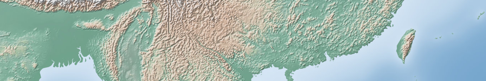
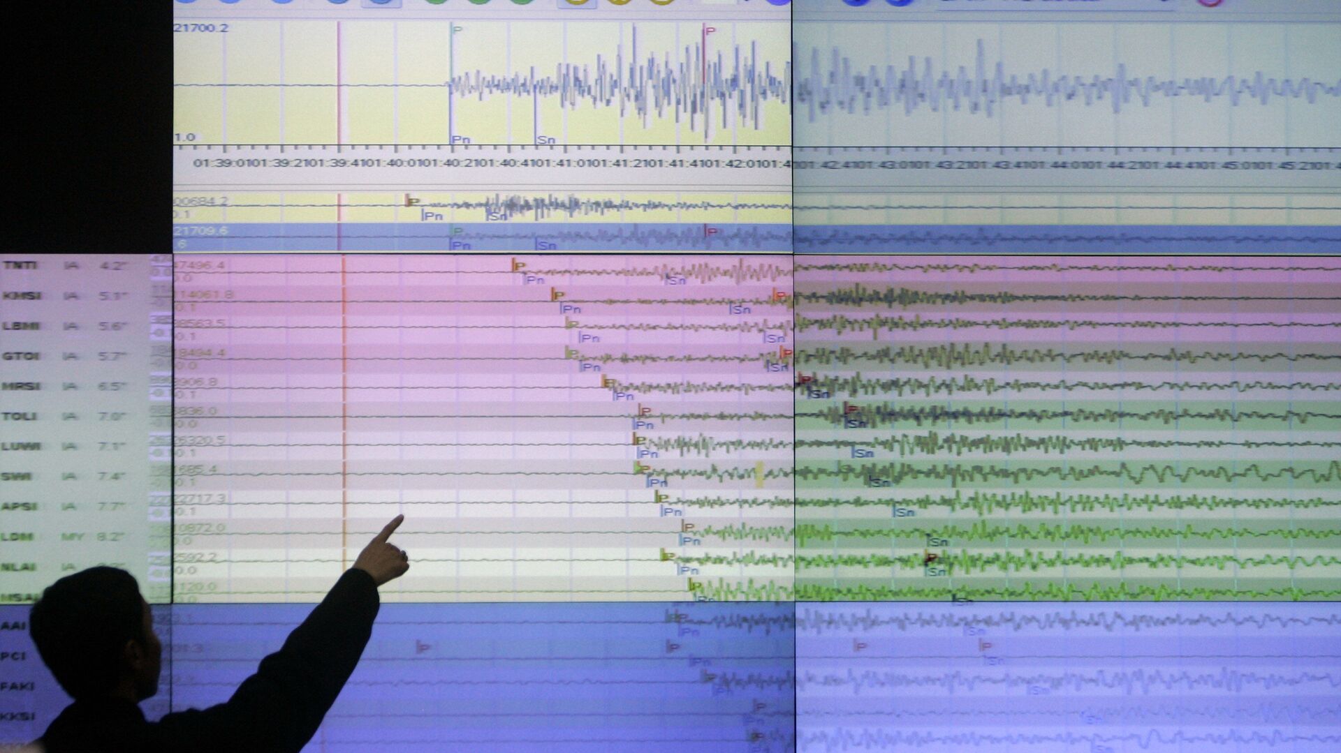
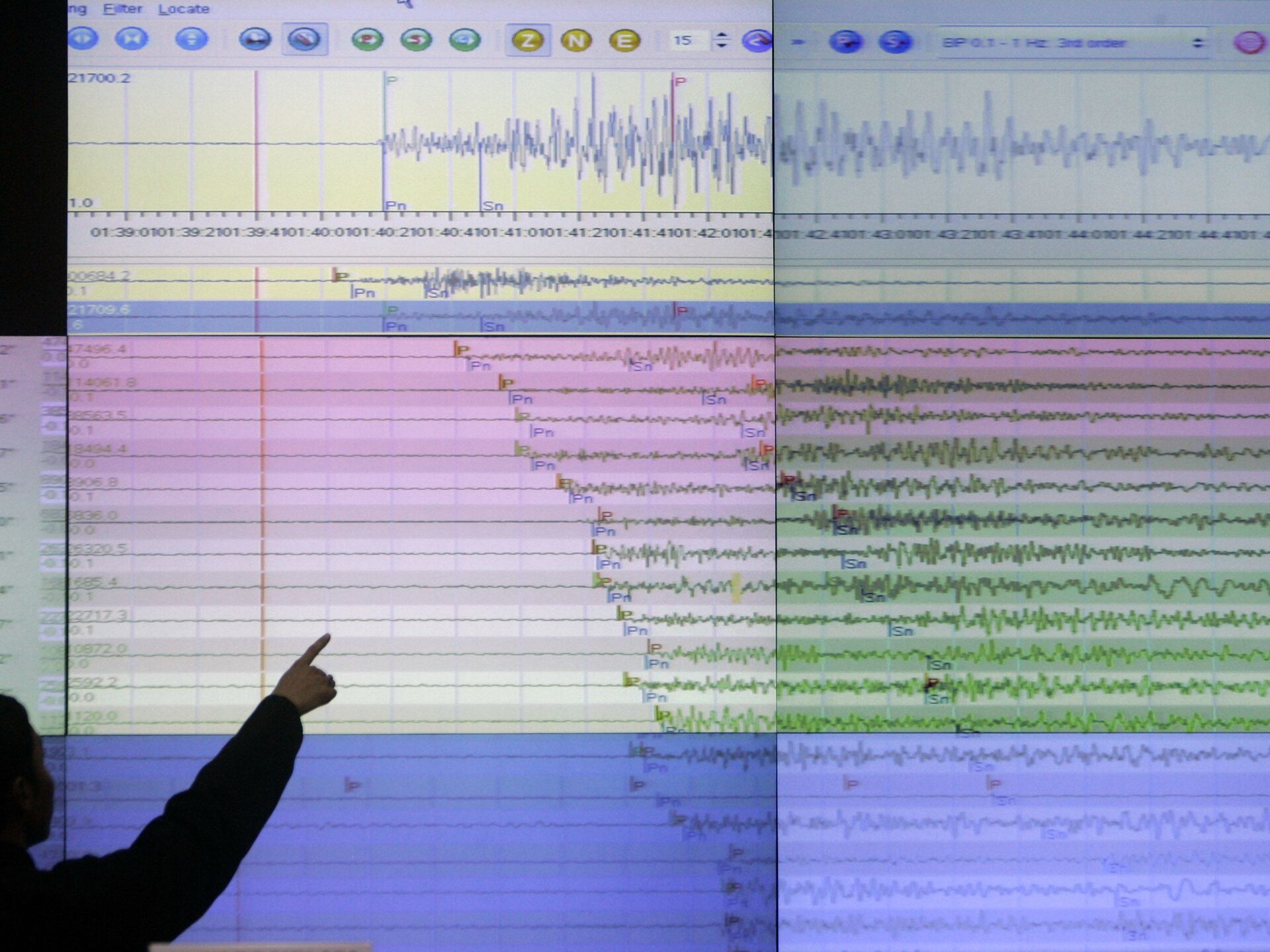
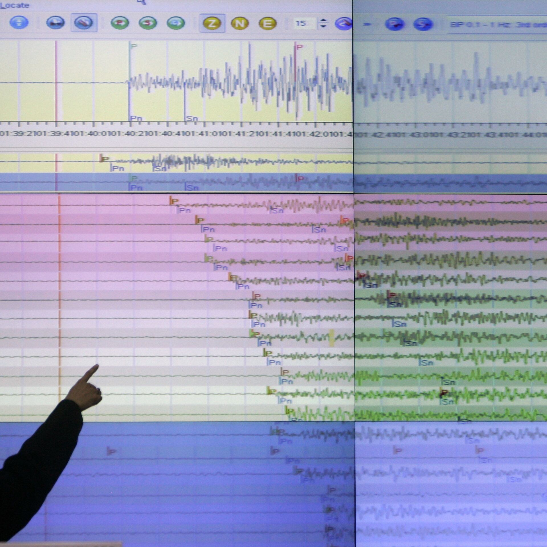
The powerful 6.3-magnitude earthquake was registered near the Solomon Islands on 20 August, the US Geological Survey said.
There have been no immediate reports about casualties or damage caused by the quake. No tsunami warning has been issued.
The Solomon Islands are located in a seismically active zone known as the Ring of Fire and regularly suffer from powerful earthquakes.
The Ring of Fire quake zone is a strip of volcanoes and tectonic faults in the Pacific basin and has one of the highest levels of volcanic and seismic activity in the world.