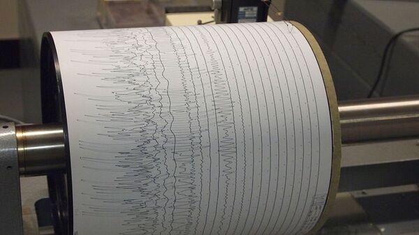
A strong 7.4 magnitude earthquake struck 133 kilometres north-west of Kota Ternate, Indonesia, the US Geological Survey (USGS) reported.
According to the USGS, the quake occurred at a depth of 45 kilometres.
The European-Mediterranean Seismological Centre (EMSC) estimated the quake as being 7.1 in magnitude and occurring at a depth of 10 kilometres, 137 kilometres east of Bitung, Indonesia.
The Pacific Tsunami Warning Centre has issued a tsunami warning, saying that dangerous waves are possible along the coast at a distance of up to 185 miles.
After two hours, the Indonesian Meteorology and Geophysics Agency reported that it had lifted the tsunami alert.
⚠️#Indonesia🇮🇩: A major #earthquake of magnitude Mi=7.4, was registered at 133 KM NNW of #KotaTernate, province of #MalukuUtara. Depth: 62 KM. [PRELIM.].
— American Earthquakes 🌋🌊🌎 (@earthquakevt) November 14, 2019
Source info: NTWC.
Did you feel this earthquake?, Tell us!.#EQVT,#quake,#gempa,#GempaBumi,#seísmo,#sismo,#temblor,#terremoto. pic.twitter.com/xlf5s71baX
In September, about 25,000 people were forced to flee their homes and seek shelter after a large 6.5 magnitude earthquake was detected eight kilometres (4.9 miles) to the southeast of the settlement of Kairatu.
Indonesia is part of the "Pacific Ring of Fire", a major area in the basin of the Pacific Ocean, which is a seismic zone, known for its powerful earthquakes.


