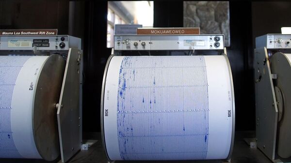
A 6.1 magnitude earthquake has been registered off the coast of the Indonesian part of the island of New Guinea, the US Geological Survey (USGS) reported.
The quake was registered at 12:11 GMT on Saturday about 311 kilometres (193 miles) southeast of the Indonesian province West Papua’s capital of Manokwari at a depth of 10 kilometres (6 miles).
There are no immediate reports of casualties or damages caused by the quake.
⚠️#Indonesia🇮🇩: A moderate #earthquake of magnitude Mww=5.3, was registered at 289 KM WNW of #Saumlaki, province of #Maluku. Depth: 131,3 KM.
— American Earthquakes 🌋🌊🌎 (@earthquakevt) November 23, 2019
More info: https://t.co/WhauWQXn6x
Did you feel this earthquake?, Tell us!.#EQVT,#quake,#gempa,#GempaBumi,#sismo,#temblor,#terremoto. pic.twitter.com/dkvp5ozSnV
Prior to this, a 7.4 magnitude quake hit off the coast of Ternate Island, western Indonesia, according to the US Geological Survey (USGS).
Indonesia is part of the "Pacific Ring of Fire", a major area in the basin of the Pacific Ocean, which is a seismic zone, known for its powerful earthquakes.


