

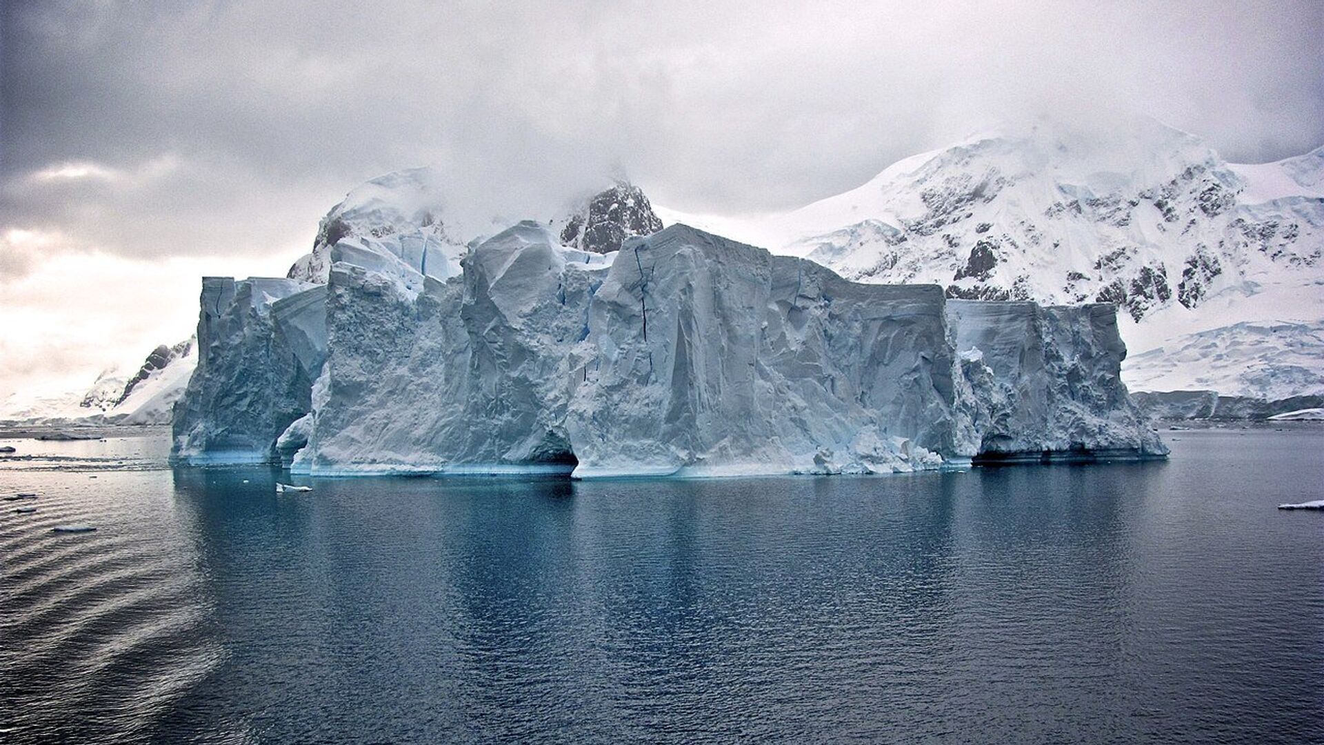
The deepest point on continental Earth has been discovered in East Antarctica, under Denman Glacier, by an international team of researchers led by glaciologists from the University of California, Irvine.
UC-Irvine led team just created a new map showing what the land is like underneath the ice on Antarctica. One of the most striking finds was a canyon below Denman Glacier in East Antarctica is significantly deeper than previously thought. https://t.co/nk4EJphhR7 pic.twitter.com/TuuDGXOKnz
— SourceToSink (@SourceToSink) December 12, 2019
The icy canyon reaches 3.5km (11,500ft) below sea level, with only ocean valleys boasting a greater depth. For comparison, the lowest exposed land on Earth, at the Dead Sea shore, is just 413m (1,355ft) below sea level.
"The trenches in the oceans are deeper, but this is the deepest canyon on land," explained Dr Morlighem, lead author of the study.
Secrets of Antarctica's Ice Sheet
Researchers made the remarkable discovery as part of a project to create the most detailed map of the land beneath Antarctica. The map, BedMachine, and findings related to it were published on 12 December in the journal Nature Geoscience.
BedMachine is a topography map of Antarctica that comprehensively shows its ridges, trenches and slopes, and was assembled using data from 19 research institutions going back over 40 years.
Scientists used radar and satellite images to work out the thickness of the ice and the land below.
"This is undoubtedly the most accurate portrait yet of what lies beneath Antarctica's ice sheet," said Dr Mathieu Morlighem.
Despite radar instruments intensively used over the decades to survey Antarctica, there remained vast gaps in airborne surveys of the continent.
For the project, Morlighem came up with a new technique to see the ground under the ice—relying on satellite data of changes to the surface, snow accumulation, and lines of radar data that can be applied to areas where radar is unavailable.
"The biggest challenge was that Antarctica is huge… so applying this method to the entire coast was very time-consuming: it took about five years to get to BedMachine," he said.
Once completed, however, the researchers were able to find previously unknown features below the ice.
Thus, the new map revealed ridges across troughs that feed the Ross ice shelf - the largest ice shelf in Antarctica. This area has been of concern to climate scientists, as research suggests it could be at risk of collapse under projected global warming.
The new finding shows previously unknown ridges that might impede the retreat of melting glaciers if the world were to grow significantly warmer, and some smooth, sloping terrains that could accelerate such processes.

"If something happened to the Ross Sea Ice Shelf - and right now it's fine, but if something happened - it will most likely not trigger the collapse of East Antarctica through these 'gates'. If East Antarctica is threatened, it's not from the Ross Sea," Dr Morlighem said.
Data from BedMachine Antarctica will be fed into climate models that try to project how the continent might evolve in the future.

