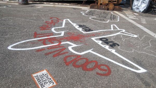
Mapping experts have named possible wreckage locations for the ill-fated flight, MH370, the Daily Star reported. Malaysian start-up Gunung Mengalir Resources said using breakthrough technology in cartography helped it find what the firms hopes will be an important lead in the search for the missing plane.
According to the company’s spokesman, it "managed to get the important breakthrough about the accurate interpretation of modelling mathematics for a geostationary satellite-based burst timing offset (BTO) signals for MH370. We used big data analysis to extract back all the MH370 communication log".
The firm said there were only two possible locations of the plane, either the Andaman Sea or near Reunion Island in the Indian Ocean. The company’s spokesman added that both locations have an equal chance of being the true location.
Amateur investigator Jackie Wilson, who claimed to have spotted the wreckage of the plane in the jungles of Cambodia, said he and his brother would attempt to visit the area again this year.
The search for the Boeing 777, which disappeared over the South China Sea in 2014, was suspended in 2017. The search has become one of the most expensive in aviation history. A second search launched in 2018 by the private contractor Ocean Infinity too ended without success. Several pieces of the debris belonging to the aircraft washed ashore in the Indian Ocean in 2015 and 2016. All 237 passengers and 12 crew members are presumed to have lost their lives.

