A video that was recently posted on YouTube left netizens wondering if it was a foreshadowing of doom amid the current coronavirus pandemic spreading across the world.
The footage was filmed by a user going by the name of Jim C on a ferry off the coast of Rhode Island, in the US.
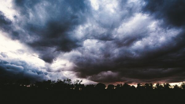
The chilling video shows a huge, ominous cloud rolling in, seeming to span hundreds of miles along the Old Harbor on Block Island.
The vision was immediately dubbed by many who witnessed it in person or on the internet platform as “apocalyptic”.
Onlookers and social media users exchanged suggestions as to what the vision might be.
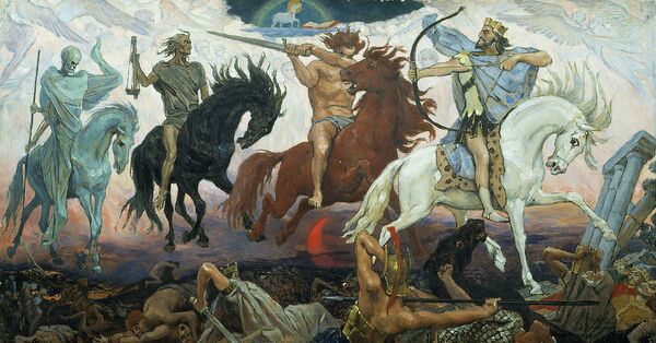
Some people, unnerved by the recent worldwide developments against the backdrop of the COVID-19 pandemic, claimed it was a "doomsday" vision sent by God.
Other YouTube fans quoted verses from the Bible:
"Luke 21:11 Verse Concepts and there will be great earthquakes, and in various places plagues and famines; and there will be terrors and great signs from heaven."
Commenting that “the apocalypse has begun”, some onlookers were reminded of the scene from apocalyptic 2004 American science fiction disaster film The Day After Tomorrow.
Many online users posted comments that the sight was at once “beautiful and scary”. The more sensationally inclined went as far as to suggest a “big alien spaceship” could be concealed in the clouds.
Block Island Tourism sought to allay fears, saying it was no more than a weather phenomenon known as a roll cloud that had appeared last Saturday.
A press officer at the UK Met Office, Bonnie Diamond, was quoted by Daily Star Online as saying the cloud in the footage looked like an Arcus cloud.
Explaining that there were two types of such cloud formations - shelf cloud and roll cloud, she added:
"These are long, thin, low-level clouds typically associated with unstable air and thunderstorms."
According to weather experts, such a phenomenon materializes when a cold downdraft from a cumulonimbus cloud reaches the ground. The cold air spreads along the ground rapidly in this case, with warm and moist air thrust upwards.
It is this rising air that condenses into patterns typically associated with Arcus clouds.


