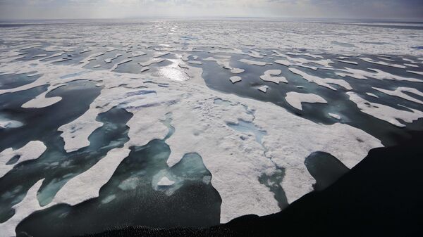
“Initial results from NASA’s new Ice Cloud and land Elevation Satellite-2 (ICESat-2) suggest that the sea ice has thinned by as much as 20% since the end of the first ICESat mission (2003-2009), contrary to existing studies that find sea ice thickness has remained relatively constant in the last decade”, NASA said in a statement.
Previous measurements by the European Space Agency’s CryoSat-2, launched in 2010, appeared to show relatively consistent thickness in Arctic sea ice since then, the release said.
By using data from both satellites, scientists were able to differentiate between the ice itself and a buildup of snow on the surface that begins each October as open water begins freezing, Associate Research Scientist at NASA’s Goddard Space Flight Center Alek Aaron Petty said.
A receding polar ice cap opens the prospect of an Arctic route for commercial ships as well as the development of fishing and mining industries in the region historically considered a frozen wasteland.

