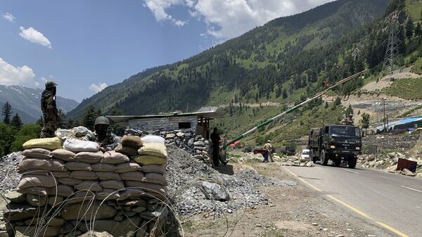
Chinese forces have bolstered their territorial claims on the India border by writing the name of their country on the disputed land, reports Indian broadcaster NDTV.
Mandarin characters translated as “China” were seen next to a silhouette of China on the bank of Lake Pangong Tso, according to the channel. The inscriptions are said to be so big that they were spotted in satellite images.
Pangong Tso is a high-altitude lake in the Tibetan plateau. It is crossed by the Line of Actual Control, a demarcation line that has separated Indian and Chinese troops since the war they fought over the area in 1962. That western sector of the Line is a major flashpoint of tension between the two nuclear-armed states.
A series of eight mountain spurs, often colloquially referred to as ‘fingers’, rise along the banks of Lake Pangong. India controls fingers 1 through 4 and claims its territory stretches to the easternmost finger No. 8. China, on the other hand, lays claims on the land up to finger 2.
China and India used to jointly patrol the disputed area between finger 4 and 8, which is around 8 km long. However, Chinese forces have camped up to finger 4 since late April, much to the outrage of India, which claims the Chinese prevent it patrols from going up to finger 8.
NDTV, which first reviewed the satellite photos, said the hieroglyphs and the map were inscribed between finger 4 and finger 5.
“It clearly shows the PLA has no intention of leaving the area any time soon,” an Indian official told The Times of India. “We, too have counter-mobilised with additional Army and ITBP troops in the area since May for any eventuality. We want restoration of status quo ante, with the PLA pulling back to its original position.”
The two sides had several hand-to-hand skirmishes in the area since April, as firearms and explosives were banned along the border region in 1996. The most violent clash occurred on 15 June, when 20 Indian soldiers were killed in the Galwan Valley, some 120 km to the north of Lake Pangong. Multiple Indian news outlets also claimed more than 40 casualties on the Chinese side, but Beijing has denied the reports.
Despite a disengagement agreement between Chinese and Indian military commanders a week later, they've continued to build up troops, camps, and roadblocks along the border.


