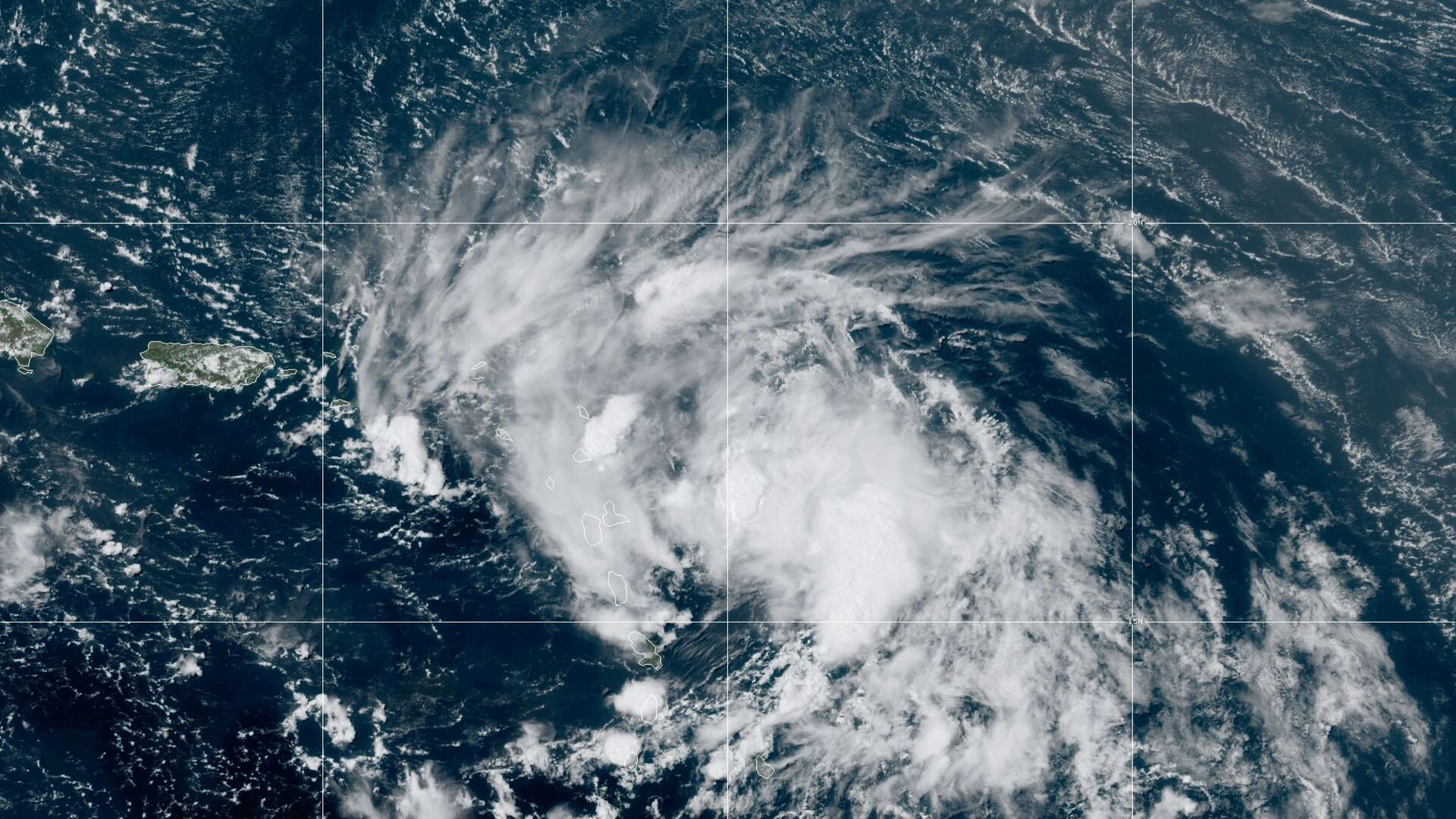
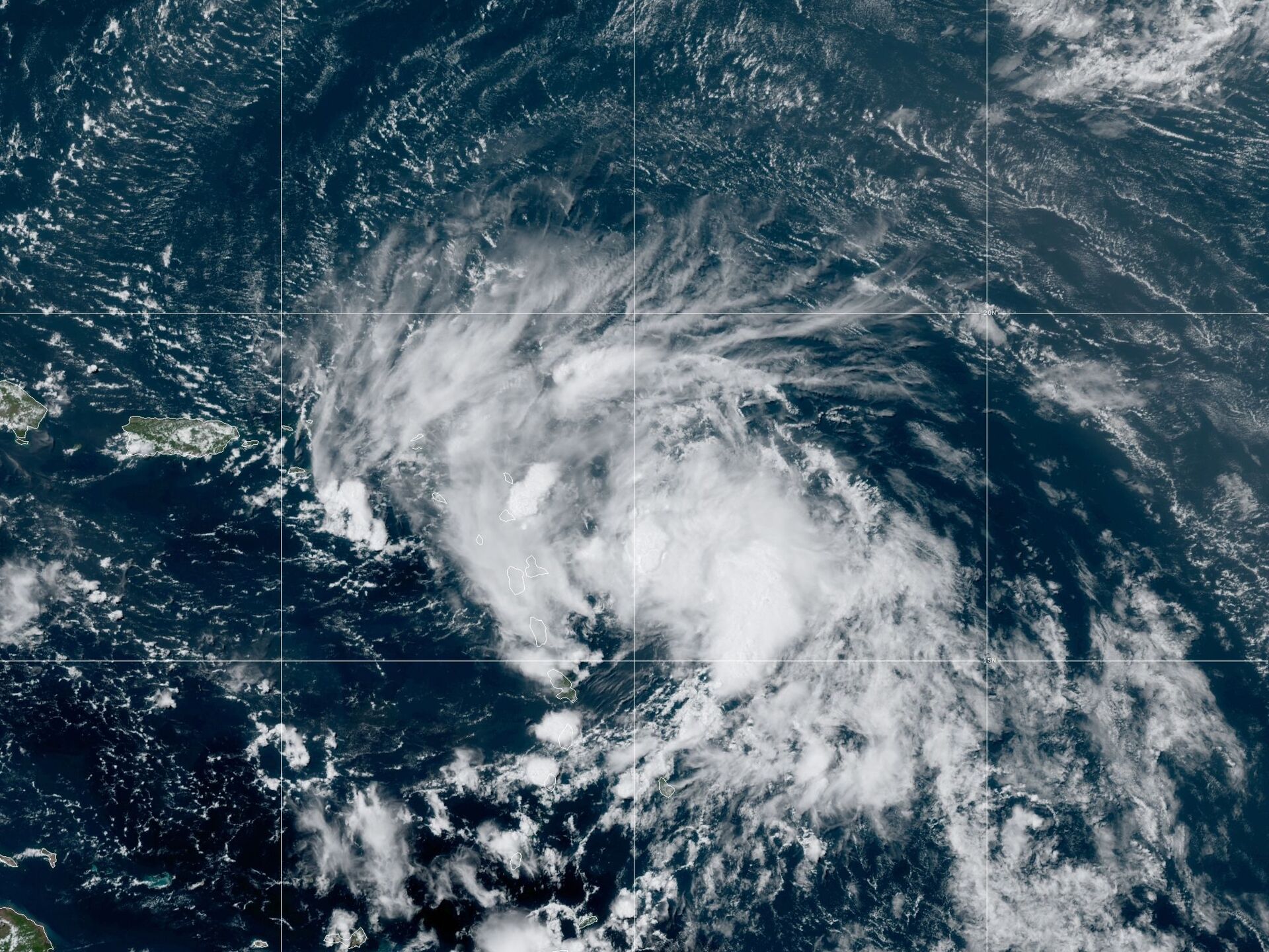
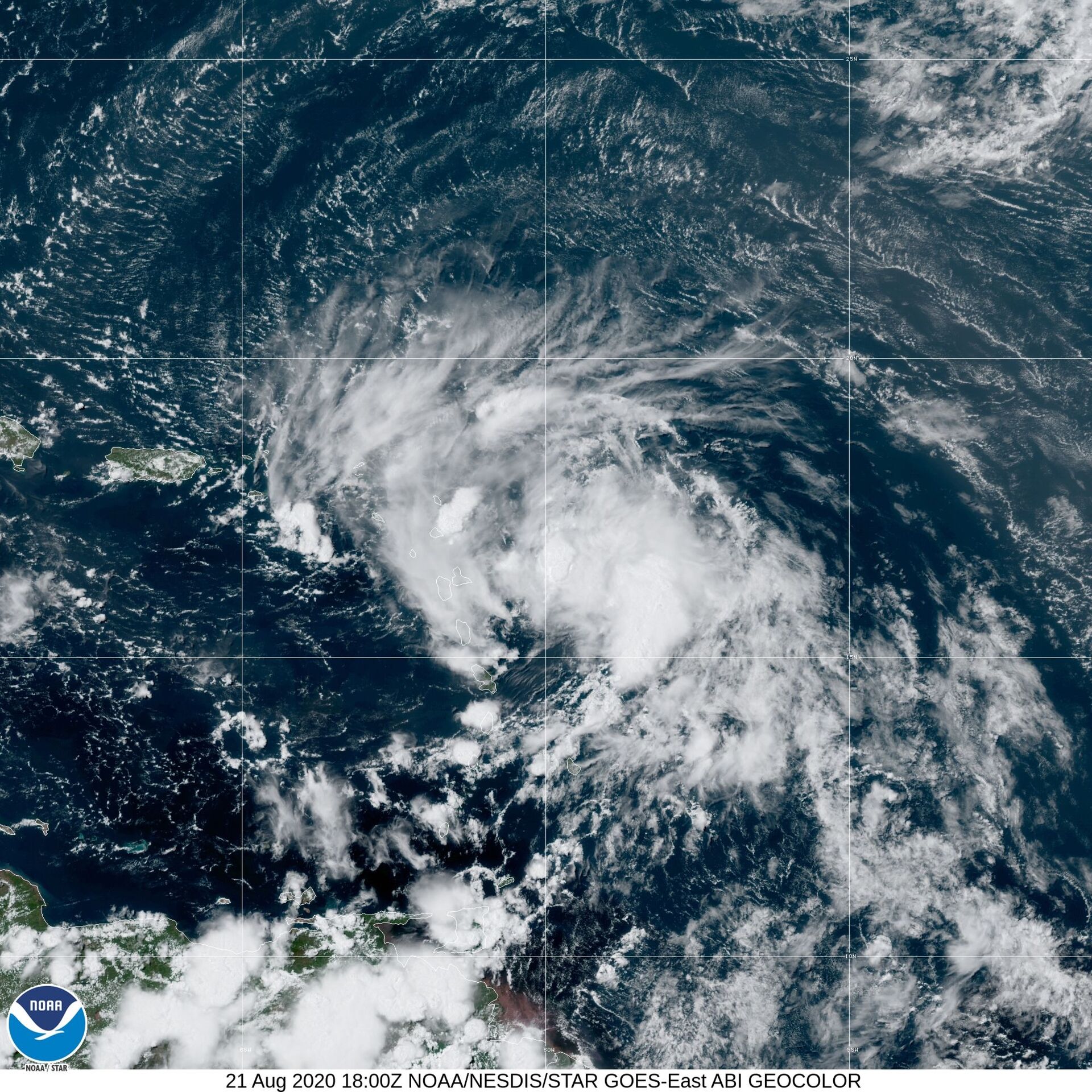
 shows Tropical Storm Laura in the North Atlantic Ocean, Friday, Aug. 21, 2020.")
Tropical Storm Laura formed early Friday, and its current path projection has the storm shifting further west at about 18 mph toward the Leeward Islands, Dominican Republic and Cuba before churning into the Gulf of Mexico and bee-lining straight to the Florida Panhandle, among other portions of the US South.
The US National Hurricane Center’s (NHC) most recent release on the storm has it about 210 miles east-southeast of the northern Leeward Islands, with a maximum sustained winds of 45 mph.
— NOAA Satellites - Public Affairs (@NOAASatellitePA) August 21, 2020
The update also projects the storm may become a hurricane by early Tuesday, a day before it’s expected to approach Louisiana, Mississippi, Alabama, Georgia and Florida’s Panhandle.
“Laura could bring storm surge, rainfall, and wind impacts to portions of Cuba, the Bahamas and Florida early next week,” notes the NHC, adding that the northeastern US Gulf Coast could be affected by the storm by the middle of next week.
Although much of the Sunshine State may not experience Laura’s wrath, the US National Weather Service (NWS) noted Friday that the storm’s outer bands could create tornado activity.
“That’s something we’ll be monitoring for Sunday and Monday, potentially, with the storm approaching and crossing into the Gulf,” NWS meteorologist Robert Garcia said, the Sun-Sentinel reported.
And then there’s Tropical Depression 14, which is sitting over 160 miles north of Honduras and is on the verge of being upgraded to Tropical Storm Marco. According to the NHC, the cyclone is expected to become a tropical storm over the weekend before reaching hurricane status early Monday morning while in the Gulf of Mexico.
— NWS Memphis (@NWSMemphis) August 21, 2020
However, current path projections indicate that the would-be hurricane may be downgraded back to a tropical storm by the time it reaches the coast of Texas and Louisiana on Tuesday morning.
At present, the tropical depression is moving at a pace of 14 mph with maximum sustained winds of 35 mph.
Brian McNoldy, a senior research associate at University of Miami's Rosenstiel School of Marine and Atmospheric Science, stated in a Friday blog post that it’s really anyone’s guess whether both storms will make landfall as hurricanes.
“They could both be hurricanes at landfall, both be tropical storms, both be tropical depressions, or some mix,” he wrote. “Regardless, it's quite rare, and as they get closer, the low pressures could interact with each other, orbiting around a common center, in a dance known as the Fujiwhara effect. This wouldn't have an effect on their impacts, but just introduce subtle nudges in each of their tracks.”
— Jack Sillin | weather.us (@JackSillin) August 21, 2020
Dennis Feltgen, the spokesperson for the NHC, told the Sun-Sentinel, that the two storms “are right on schedule” since “you get these tropical waves that roll off the coast of Africa on average about every three or four days” in August and September.
Laura is the 12th named tropical storm this year and marks the “earliest L-named storm in the Atlantic on record,” according to the US National Oceanic and Atmospheric Administration.

