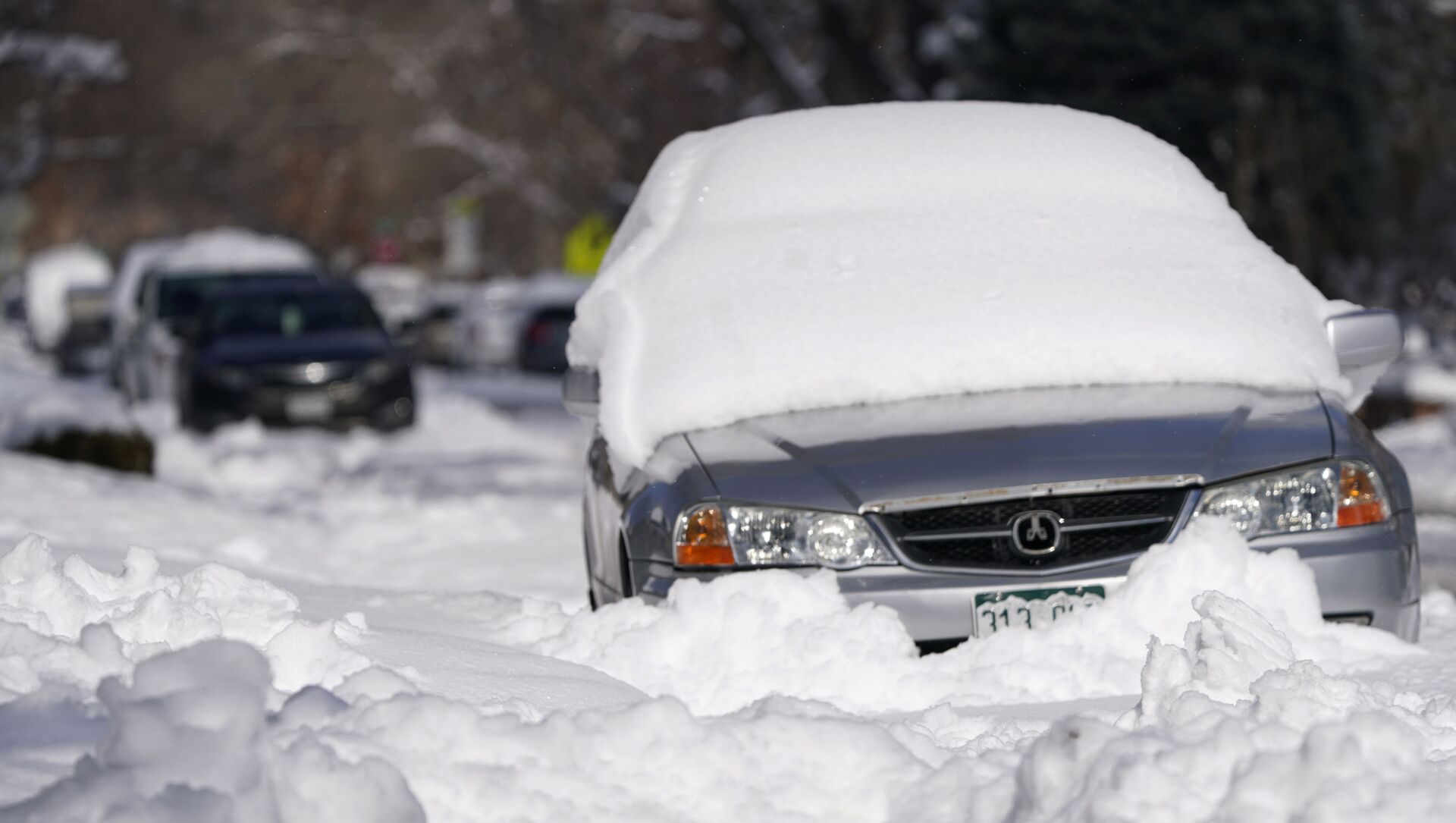
The National Weather Service issued a winter storm warning early Saturday morning about a significant late season snowfall expected to last from early Saturday until Monday morning for all of the Denver metro area, including for the plains and the mountains.
Warm temperatures are supposed to bring a mix of rain and snow across the plains early in this event, while winds will increase by Sunday. Total snow accumulations of 12 to 24 inches are currently expected, with locally heavier amounts possible near Boulder and Fort Collins.
The National Weather Service suggests that people avoid going outside and keep an extra flashlight, food, and water in vehicles in case of emergency if they have to travel this weekend, as the most severe conditions from deep accumulations of snow will likely occur around the Front Range Mountains, the Foothills, and along the I-25 Urban Corridor.
Meteorologists say that while bringing a lot of moisture to Colorado, the storm will produce one of the heaviest snowfalls in the Denver area in several years.
The record amount of snow was recorded in Denver in December 1913, with 45.7 inches of snow accumulated in the city.


