https://sputnikglobe.com/20210824/new-nasa-wildfire-program-to-direct-firefighters-using-satellite-data---administrator-1083703086.html
New NASA 'Wildfire Program' to Direct Firefighters Using Satellite Data - Administrator
New NASA 'Wildfire Program' to Direct Firefighters Using Satellite Data - Administrator
Sputnik International
WASHINGTON, (Sputnik) - NASA plans to develop new wildfire program to expand realtime data available to teams battling blazes now blanking vast swaths of the... 24.08.2021, Sputnik International
2021-08-24T17:46+0000
2021-08-24T17:46+0000
2021-08-24T17:46+0000
us
world
newsfeed
nasa
wildfires
bill nelson
https://cdn1.img.sputnikglobe.com/img/07e4/0c/12/1081498657_0:278:2896:1915_1920x0_80_0_0_f398879dc9778de4aedf657936a0be23.jpg
Beginning in September, NASA will begin posting its Earth observation data on a new internet application called "Open ET," with the information available to the public, Nelson said.In addition to wildfires, "Open ET will put NASA Earth satellite data into the hands of farmers, water managers and conservation groups. It has the power to assist with water management in the West. Telling users how much water is being consumed by agricultural crops," Nelson said.The effort marks an expansion of existing measurements from satellites that now help direct firefighters by mapping active and smoldering blazes, according to NASA.As of Tuesday, more than 2.5 million acres have burned in 92 large fires in 12 states. Residents in communities near 16 blazes remain evacuated amid a deployment of 26,383 firefighters and support personnel, the National Interagency Fire Center said in its latest daily report posted on the internet.
Sputnik International
feedback@sputniknews.com
+74956456601
MIA „Rossiya Segodnya“
2021
Sputnik International
feedback@sputniknews.com
+74956456601
MIA „Rossiya Segodnya“
News
en_EN
Sputnik International
feedback@sputniknews.com
+74956456601
MIA „Rossiya Segodnya“
Sputnik International
feedback@sputniknews.com
+74956456601
MIA „Rossiya Segodnya“
us, newsfeed, nasa, wildfires, bill nelson
us, newsfeed, nasa, wildfires, bill nelson
New NASA 'Wildfire Program' to Direct Firefighters Using Satellite Data - Administrator
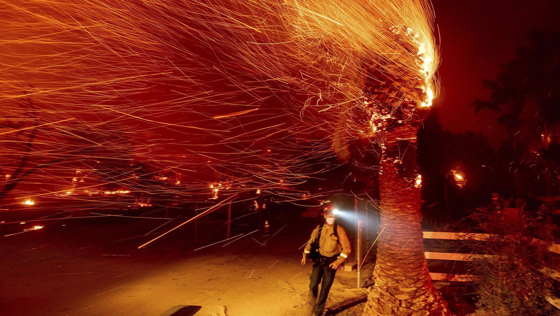
WASHINGTON, (Sputnik) - NASA plans to develop new wildfire program to expand realtime data available to teams battling blazes now blanking vast swaths of the Western United States in what has become a yearly seasonal threat, Administrator Bill Nelson told an annual Space Symposium on Tuesday.
"Central to our mission is protecting this planet," Nelson said. "And that’s why NASA is planning to establish a new wildfire program. The program will draw from our satellite and airborne observations, our eyes in the sky. The technology will develop data-driven tools to support the heroes who are fighting the fires. And they’re trying to prevent the next fire," Nelson said.
Beginning in September,
NASA will begin posting its Earth observation data on a new internet application called "Open ET," with the information available to the public, Nelson said.
In addition to wildfires, "Open ET will put NASA Earth satellite data into the hands of farmers, water managers and conservation groups. It has the power to assist with water management in the West. Telling users how much water is being consumed by agricultural crops," Nelson said.
The effort marks an expansion of existing measurements from satellites that now help direct firefighters by mapping active and smoldering blazes, according to NASA.
As of Tuesday, more than 2.5 million acres have burned in 92 large
fires in 12 states. Residents in communities near 16 blazes remain evacuated amid a deployment of 26,383 firefighters and support personnel, the National Interagency Fire Center said in its latest daily report posted on the internet.


