https://sputnikglobe.com/20220117/volcano-monitoring-ineffective-in-detecting-deadly-hazards-like-indonesia-2018-tsunami-warns-study-1092311233.html
Volcano Monitoring Ineffective in Detecting Deadly Hazards Like Indonesia 2018 Tsunami, Warns Study
Volcano Monitoring Ineffective in Detecting Deadly Hazards Like Indonesia 2018 Tsunami, Warns Study
Sputnik International
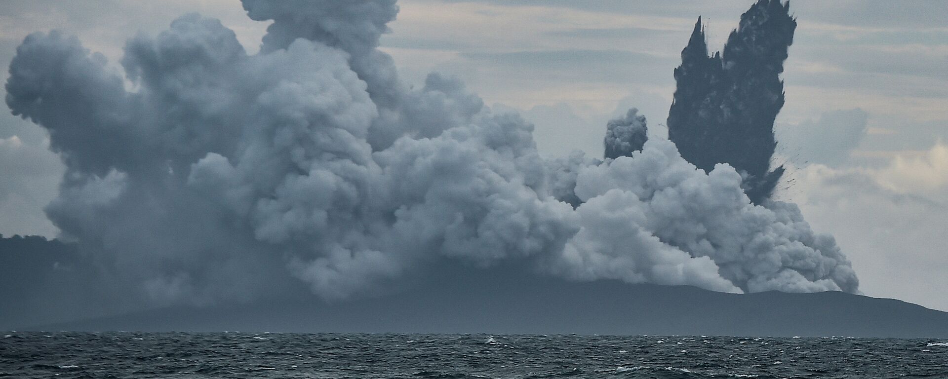
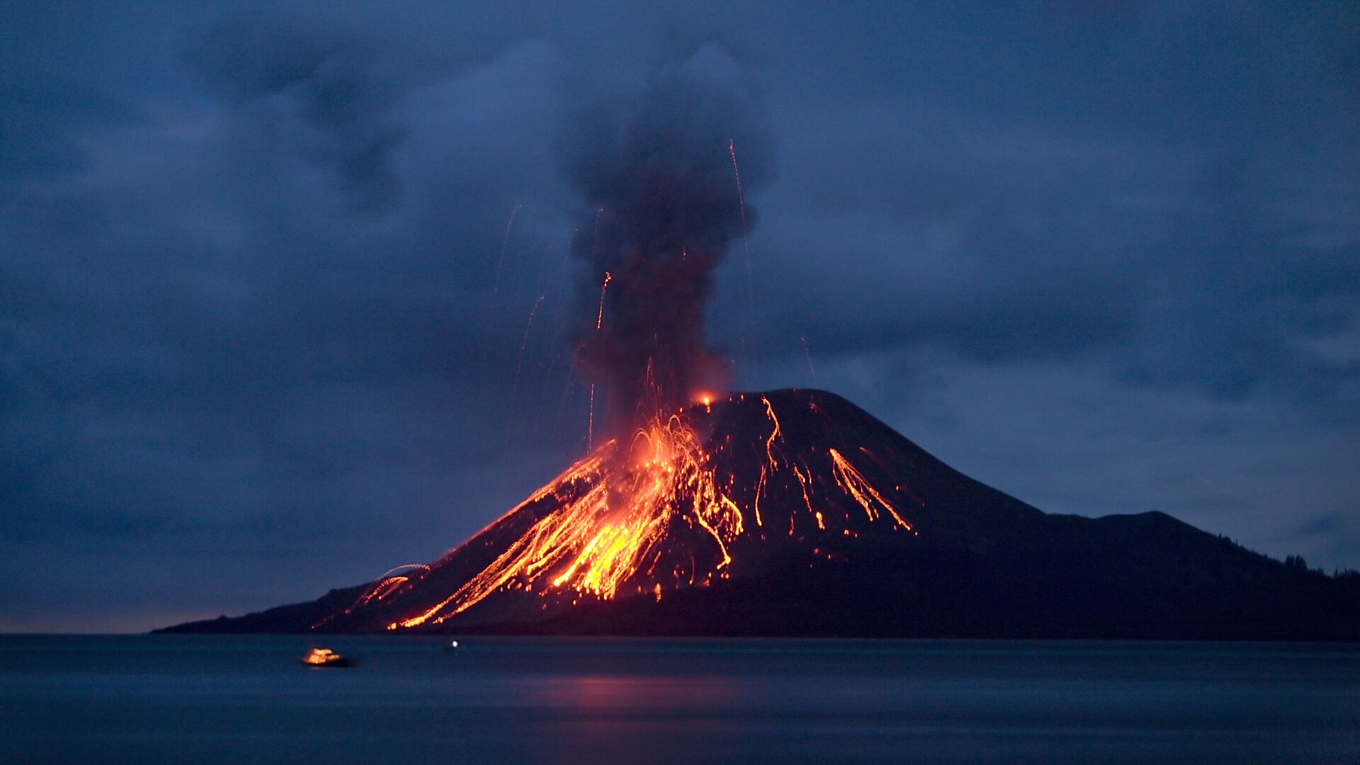
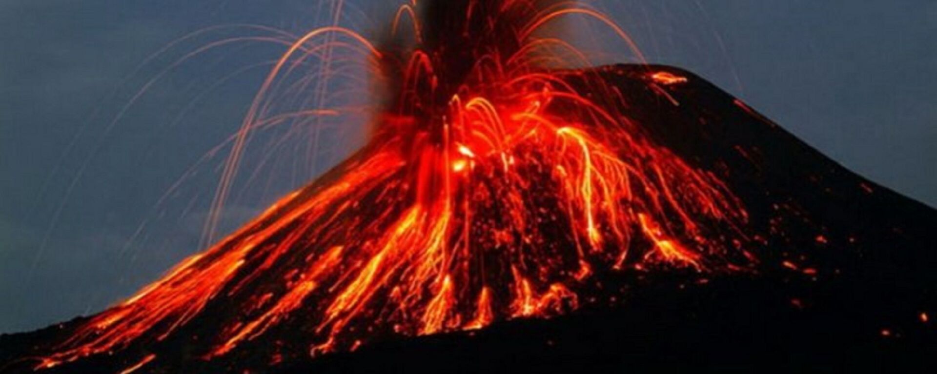
Indonesia's Anak Krakatau volcano collapsed in December 2018 as a result of long-term destabilising processes rather than by magma forcing its way to the surface and triggering the landslide, claims new research.
2022-01-17T07:31+0000
2022-01-17T07:31+0000
2022-01-17T08:09+0000
volcano
anak krakatau
https://cdn1.img.sputnikglobe.com/img/107110/01/1071100131_0:401:4172:2748_1920x0_80_0_0_6a4df378d20d50251cfc71d29a540011.jpg
According to new research, Indonesia's Anak Krakatau volcano collapsed in December 2018 as a result of long-term destabilising processes rather than by magma forcing its way to the surface and triggering the landslide.Accordingly, the horrific tragedy that claimed over 400 lives when more than two-thirds of the volcano’s height slid into the sea could not have been detected by current monitoring techniques, according to the team led by the University of Birmingham, which published the results of their peer-reviewed study in Earth and Planetary Science Letters.Anak Krakatau island had formed in a caldera in the Sunda Strait between the islands of Java and Sumatra in the Indonesian province of Lampung in the wake of the legendary 1883 Krakatoa eruption. Back in January 2012, volcanologists at the University of Oregon had warned that a tsunami was likely to be triggered by a potential flank collapse of Anak Krakatau, perched as it was on a steep slope at an edge of the caldera.Ahead of the collapse on 22 December 2018 in the deadliest such event of the 21st century so far, the volcano had been erupting for around six months. On the day of the deadly blast, it caused a tsunami with waves up to five meters in height, killing over 400 people, with more than 14,059 injured and 40,000 displaced.‘Challenge’ for Predicting Future HazardsThe University of Birmingham scientists, teaming up with researchers at the Bandung Institute of Technology, the University of Oxford and the British Geological Survey, examined volcanic material from nearby islands to determine whether the powerful eruption observed after the collapse of the volcano had triggered the landslide and tsunami.After extensively studying the physical, chemical and microtextural characteristics of the deposits of erupted material resulting from the 2018 Anak Krakatau collapse, the experts concluded that the explosion linked with it was possibly triggered by the underlying magmatic system becoming destabilised during the landslide.Thus, the research suggests that current volcano monitoring methods, which are based on recording seismic activity and other signals caused by magma, could not have been effective in detecting the upcoming devastating event.The fact that the driving mechanism in that event was from long term destabilization was pronounced to be a “major surprise discovery” by Professor David Tappin, of the British Geological Survey, University College, London. He acknowledged that it would invariably prompt a re-evaluation of how to “mitigate the hazard from volcanic failures and their associated tsunamis.”Dr Mirzam Abdurrachman, from the Bandung Institute of Technology, warned that the results of the research indicate a challenge for predicting future potential hazards at volcanic islands.According to the scientist, since large volcanic landslides could be driven by “long-term instability”, lack of any accompanying distinctive change in the volcano’s magmatic activity means that a similar tragedy could strike “without any clear warning.”Looking ahead, lead author of the research, University of Oxford’s Kyra Cutler said that evaluating long-term growth and deformation patterns of volcanoes such as Anak Krakatau will be conducive to elaborating better techniques of identifying susceptible areas. This would work towards developing improved non-seismic tsunami detection as well as overall hazard management strategies for “communities who are at risk.”The Indonesian volcano Krakatoa’s largest eruption in modern times took place in 1883, with the enormous blasts forming a tsunami that is believed to have towered 42 metres high in some places. An estimated 36,000 people lost their lives in one of the largest recorded volcanic explosions in the last thousand years.
https://sputnikglobe.com/20181229/krakatau-volcano-decimated-eruption-1071092618.html
https://sputnikglobe.com/20200411/video-indonesian-volcano-krakatoa-erupts-spewing-14-kilometres-of-ash-into-air-1078913567.html
anak krakatau
Sputnik International
feedback@sputniknews.com
+74956456601
MIA „Rossiya Segodnya“
2022
News
en_EN
Sputnik International
feedback@sputniknews.com
+74956456601
MIA „Rossiya Segodnya“
Sputnik International
feedback@sputniknews.com
+74956456601
MIA „Rossiya Segodnya“
anak krakatau volcano
Volcano Monitoring Ineffective in Detecting Deadly Hazards Like Indonesia 2018 Tsunami, Warns Study
07:31 GMT 17.01.2022 (Updated: 08:09 GMT 17.01.2022) A tsunami wall of water up to four metres high was triggered around the Sunda Strait when the Indonesian island volcano Anak Krakatau collapsed in December 2018, with the mass sliding into the sea. More than 400 people died in the tragedy; some 7,000 were injured and nearly 47,000 were displaced from their homes.
According to
new research, Indonesia's Anak Krakatau volcano collapsed in December 2018 as a result of long-term destabilising processes rather than by magma forcing its way to the surface and triggering the landslide.
Accordingly, the
horrific tragedy that claimed over 400 lives when more than two-thirds of the volcano’s height slid into the sea could not have been detected by current monitoring techniques, according to the team led by the University of Birmingham, which published the results of their peer-reviewed study in Earth and Planetary Science Letters.
Anak Krakatau island had formed in a caldera in the Sunda Strait between the islands of Java and Sumatra in the Indonesian province of Lampung in the wake of the legendary 1883 Krakatoa eruption. Back in January 2012, volcanologists at the University of Oregon had warned that a tsunami was likely to be triggered by a potential flank collapse of Anak Krakatau, perched as it was on a steep slope at an edge of the caldera.

29 December 2018, 11:36 GMT
Ahead of the collapse on 22 December 2018 in the deadliest such event of the 21st century so far, the volcano had been erupting for around six months. On the day of the deadly blast, it caused a tsunami with waves up to five meters in height, killing over 400 people, with more than 14,059 injured and 40,000 displaced.
‘Challenge’ for Predicting Future Hazards
The University of Birmingham scientists, teaming up with researchers at the Bandung Institute of Technology, the University of Oxford and the British Geological Survey, examined volcanic material from nearby islands to determine whether the powerful eruption observed after the collapse of the volcano had triggered the landslide and tsunami.
After extensively studying the physical, chemical and microtextural characteristics of the deposits of erupted material resulting from the 2018 Anak Krakatau collapse, the experts concluded that the explosion linked with it was possibly triggered by the underlying magmatic system becoming destabilised during the landslide.
Thus, the research suggests that current volcano monitoring methods, which are based on recording seismic activity and other signals caused by magma, could not have been effective in detecting the upcoming devastating event.
“Our findings show that, although there was a dramatic, explosive eruption after the collapse of Anak Krakatau, this was triggered by the landslide releasing pressure on the magma system – like a champagne cork popping,” said Dr Sebastian Watt of the University of Birmingham’s School of Geography, Earth and Environmental Sciences, and senior author of the study.
The fact that the driving mechanism in that event was from long term destabilization was pronounced to be a “major surprise discovery” by Professor David Tappin, of the British Geological Survey, University College, London. He acknowledged that it would invariably prompt
a re-evaluation of how to “mitigate the hazard from volcanic failures and their associated tsunamis.”
Dr Mirzam Abdurrachman, from the Bandung Institute of Technology, warned that the results of the research indicate a challenge for predicting future potential hazards at volcanic islands.
According to the scientist, since large volcanic landslides could be driven by “long-term instability”, lack of any accompanying distinctive change in the volcano’s magmatic activity means that a similar tragedy could strike “without any clear warning.”
“This finding is important for people who live in regions surrounded by active volcanoes and volcanic islands in places such as Indonesia, Philippines and Japan,| added Dr Mirzam Abdurrachman.
Looking ahead, lead author of the research, University of Oxford’s Kyra Cutler said that evaluating long-term growth and deformation patterns of volcanoes such as Anak Krakatau will be conducive to elaborating better techniques of identifying susceptible areas. This would work towards developing improved non-seismic tsunami detection as well as overall hazard management strategies for “communities who are at risk.”
The Indonesian volcano Krakatoa’s largest eruption in modern times took place in 1883, with the enormous blasts forming a tsunami that is believed to have towered 42 metres high in some places. An estimated 36,000 people lost their lives in one of the largest recorded volcanic explosions in the last thousand years.


