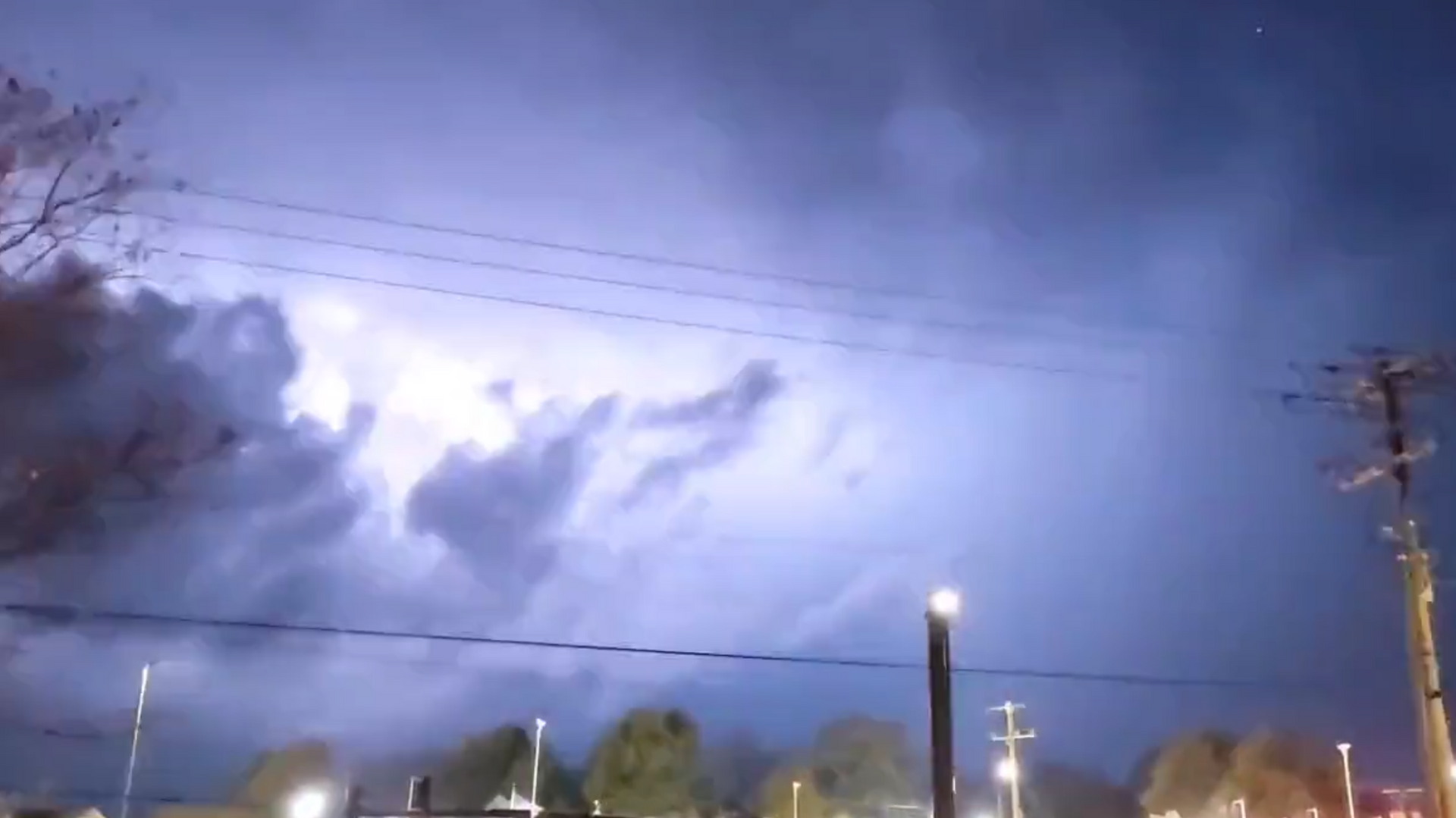
Videos: Millions at Risk as Severe Weather Prompts Tornadoes, Hail Across US South
Subscribe
Meteorologists earlier warned that a weather system moving into the Pacific Northwest over the weekend was expected to bring severe weather, such as lightning, powerful winds and tornadoes, across the US South. An estimated 40 million residents have been put on notice across the entire affected region.
A significant weather outbreak is underway across parts of the Mississippi Valley, with the most severe storms already unfolding across much of the US South. The weather event is expected to endure overnight Tuesday.
The National Weather Service has indicated the most extreme risks are forecasted for parts of Mississippi and Alabama, as more isolated weather events are anticipated for Louisiana, Tennessee, Georgia, Ohio, and Indiana. Some 5 million are at greatest risk.
"This is a particularly dangerous situation," an alert issued by the agency read, noting that primary threats included numerous tornadoes, large hail and "likely" wind gusts of up to 70 miles per hour.
"Supercells are expected to develop this afternoon and track northeastward across much of northeast Louisiana and central Mississippi," the advisory states. "Parameters appear favorable for strong and long-tracked tornadoes this afternoon and early evening."
Supercells are defined as weather systems that produce severe thunderstorms capable of creating hail and/or tornadoes.
Video footage of the weather event has begun to surface on social media.
Incredibly strong winds in Muscle Shoals. From Tanya Baker pic.twitter.com/g6h1yD1Eeh
— Grace Anello (@AnelloWx) November 29, 2022
Tornado southwest of Bassfield pic.twitter.com/YwnvAOFdHC
— LandonSchaeffer 🌪️ (@LandonWX10) November 29, 2022
Almost continuous #Lightning with a #Tornado warned storm that's moving away from Starkville.
— Mike Seidel (@mikeseidel) November 29, 2022
We're live on @weatherchannel watching another storm that will impact the area in the next hour. It has a tornado warning on it too. Please stay alert! pic.twitter.com/gpcGULl73C
Aside from structural damages, officials are warning of potential power outages due to strong wind gusts. At present, two twisters have been confirmed in Mississippi.
More damage from Colbert County. Photo from 2:03pm. No injuries reported, thank goodness. From Michael Smith pic.twitter.com/FZrGYa4rtc
— Grace Anello (@AnelloWx) November 29, 2022
The storm is expected to turn from the mid-Mississippi Valley toward the US northeast by Sunday. However, as the system moves into the North across the Great Lakes region, officials have also forecasted a fresh drop of snow for the area.


