https://sputnikglobe.com/20240102/irans-khayyam-satellite-turns-nation-into-remote-sensing-heavyweight-1115948426.html
Iran's Khayyam Satellite Turns Nation Into Remote Sensing Heavyweight
Iran's Khayyam Satellite Turns Nation Into Remote Sensing Heavyweight
Sputnik International
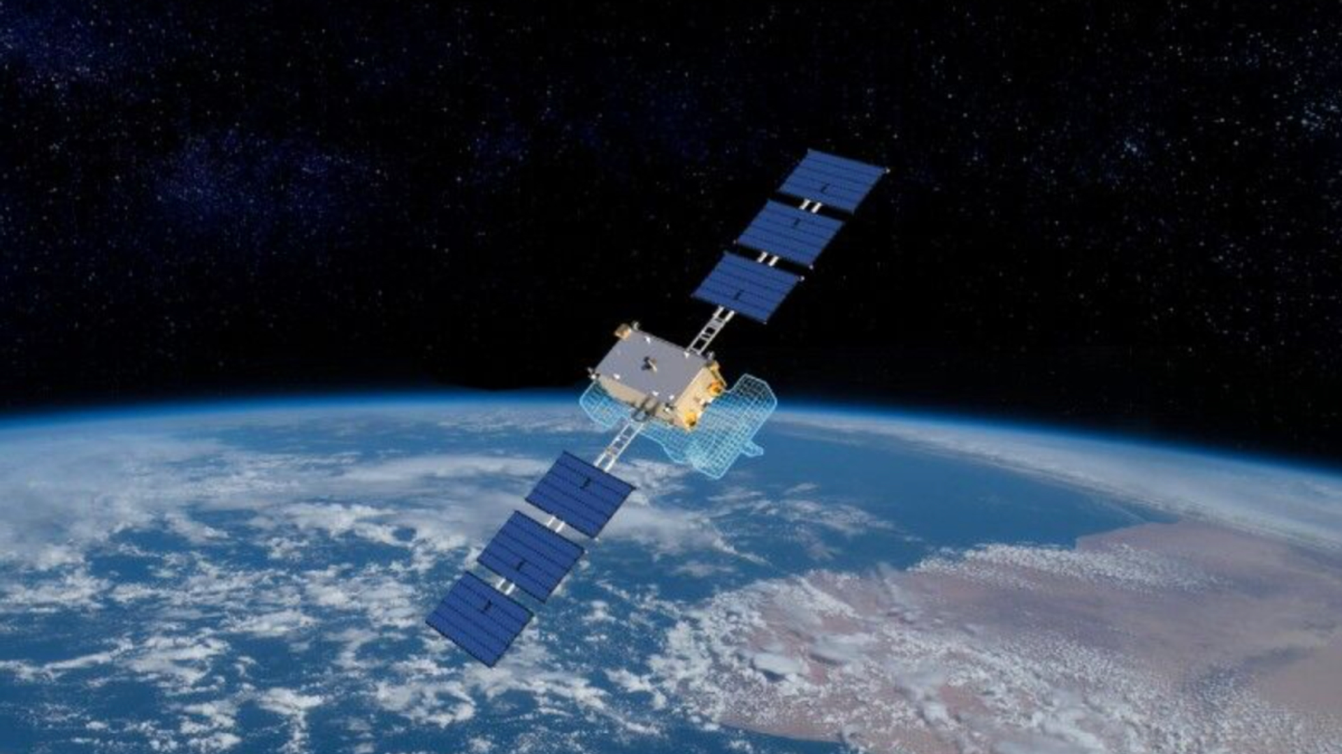
In 2022, a Russian carrier rocket launched Iran’s Khayyam remote sensing satellite into orbit. Becoming fully operational last July, the 600 kg spacecraft, named after the great Ancient Persian astronomer and polymath Omar Khayyam, set to work snapping detailed digital images for use in a wide variety of applications.
2024-01-02T15:20+0000
2024-01-02T15:20+0000
2024-01-02T15:20+0000
beyond politics
science & tech
iran
tehran
us central command (centcom)
soyuz
https://cdn1.img.sputnikglobe.com/img/07e8/01/02/1115948564_0:23:1200:698_1920x0_80_0_0_b9a551441b44c89cdc2631a9bc7e1e1e.png
Iran’s new Khayyam remote sensing satellite has brought the Islamic Republic’s space program into a new era, with its images having a whopping 81 different uses ranging from environmental monitoring and agriculture to water management, meteorology, urban planning, mining and natural disaster response and early warning.The Tehran-based Iranian Space Research Center recently announced that it had kicked off the process of making the Khayyam available to commercial customers, citing the satellite’s competitiveness and the Center’s engagement with both government and private clients from the Ministry of Agriculture and Iran’s Environmental Protection Organization to the National Copper Company and others.Pointing to the satellite’s maturation since its launch a year ago to include image processing and archiving infrastructure, Soleimani pointed out that on the world market, satellite images are typically bought and sold along an x amount per square kilometer of information. “In this regard, we can create a competitive market with foreign prices to have an economic justification for consumers,” the representative said.On Tuesday, Iranian media outlined an exhaustive list of potential applications for the Khayyam, featuring over 80 uses ranging from environmental climate change and natural disaster monitoring to urban and rural land use, management and optimization of agricultural land and water resource use, real-time urban studies and planning, and more.Developed and built with Russia's help and launched from Kazakhstan’s Baykonur Cosmodrome aboard a Russian Soyuz rocket in the summer of 2022, the Khayyam became fully operational last July.Orbiting 500 km above the planet and equipped with instrumentation allowing for a maximum resolution of one meter, the Khayyam is capable of sending images back to Earth up to four times a day.Iran also has a separate military space surveillance program in the form of its Noor (lit. ‘Light’) series of satellites, which are launched from inside Iran aboard Qased (‘Messenger’) carrier rockets. These completely homegrown spacecraft operate at a 450 km orbit, with the latest satellite in the series – Noor-3, having a resolution of between 4.8 and 6 meters, plenty enough to detect and track activity at enemy bases operating around the country’s borders in the Middle East. Noor-series satellites have sent back detailed images of US Central Command’s home base of operations at Al-Udeid Air Base in Doha, Qatar, and the headquarters of the US Fifth Fleet in Manama, Bahrain, debunking assurances by the US military that the Noor was a mere “tumbling webcam in space” that wouldn’t be able to send back any useful information.Iran is one of only a handful of nations in the world with a mature indigenous space program. The Islamic Republic launched its first satellite into orbit in 2009, becoming the first country in the Muslim World to do so, and has experimented with the launch and retrieval of animals into and from space.Last month, Iran launched a new space bio-capsule into orbit aboard the new rocket carrier known as the Salman as part of its ambitious plans to become capable of putting human beings into space by the end of the decade using homegrown technologies and equipment. Iran first expressed an interest in sending astronauts to space in cooperation with the USSR in 1990, but the plans never materialized after the USSR’s collapse. Thirty years later, Tehran has apparently concluded that when it comes to manned space travel, if you want something done, you have to do it yourself.
https://sputnikglobe.com/20230928/irans-raisi-says-successful-satellite-launch-shows-futility-of-threats-and-sanctions-1113760699.html
iran
tehran
Sputnik International
feedback@sputniknews.com
+74956456601
MIA „Rossiya Segodnya“
2024
News
en_EN
Sputnik International
feedback@sputniknews.com
+74956456601
MIA „Rossiya Segodnya“
Sputnik International
feedback@sputniknews.com
+74956456601
MIA „Rossiya Segodnya“
how advanced is iran's space program, what can iran's khayyam earth sensing satellite do
how advanced is iran's space program, what can iran's khayyam earth sensing satellite do
Iran's Khayyam Satellite Turns Nation Into Remote Sensing Heavyweight
In 2022, a Russian carrier rocket launched Iran’s Khayyam remote sensing satellite into orbit. Becoming fully operational last July, the 600 kg spacecraft, named after the great Ancient Persian astronomer and polymath Omar Khayyam, set to work snapping detailed digital images for use in a wide variety of applications.
Iran’s new Khayyam remote sensing satellite has brought the Islamic Republic’s space program into a new era, with its images having a whopping 81 different uses ranging from environmental monitoring and agriculture to water management, meteorology, urban planning, mining and natural disaster response and early warning.
The Tehran-based Iranian Space Research Center recently
announced that it had kicked off the process of making the Khayyam available to commercial customers, citing the satellite’s competitiveness and the Center’s engagement with both government and private clients from the Ministry of Agriculture and Iran’s Environmental Protection Organization to the National Copper Company and others.
“Today, the Khayyam has reached a stage where it is able to pursue commercialization and the development of its sales market in a competitive fashion. In this regard, a link access images from the Khayyam has been activated on the Iranian Space Research Center’s website, and we seek positive interaction in its development,” ISRC representative Ahmad Soleimani
told Iranian media last Wednesday.
Pointing to the satellite’s maturation since its launch a year ago to include image processing and archiving infrastructure, Soleimani pointed out that on the world market, satellite images are typically bought and sold along an x amount per square kilometer of information. “In this regard, we can create a competitive market with foreign prices to have an economic justification for consumers,” the representative said.
On Tuesday, Iranian media outlined an exhaustive list of potential applications for the Khayyam, featuring
over 80 uses ranging from environmental climate change and natural disaster monitoring to urban and rural land use, management and optimization of agricultural land and water resource use, real-time urban studies and planning, and more.
Developed and built with Russia's help and launched from Kazakhstan’s Baykonur Cosmodrome
aboard a Russian Soyuz rocket in the summer of 2022, the Khayyam
became fully operational last July.
Orbiting 500 km above the planet and equipped with instrumentation allowing for a maximum resolution of one meter, the Khayyam is capable of sending images back to Earth up to four times a day.
Iran also has a
separate military space surveillance program in the form of its Noor (lit. ‘Light’) series of satellites, which are launched from inside Iran aboard Qased (‘Messenger’) carrier rockets. These completely homegrown spacecraft operate at a 450 km orbit, with the latest satellite in the series – Noor-3, having a resolution of between 4.8 and 6 meters, plenty enough to detect and track activity at enemy bases operating around the country’s borders in the Middle East. Noor-series satellites have sent back detailed images of US Central Command’s home base of operations at Al-Udeid Air Base in Doha, Qatar, and the headquarters of the US Fifth Fleet in Manama, Bahrain, debunking assurances by the US military that the Noor was a mere “tumbling webcam in space” that wouldn’t be able to send back any useful information.

28 September 2023, 12:11 GMT
Iran is one of only a handful of nations in the world with a mature indigenous space program. The Islamic Republic launched its first satellite into orbit in 2009, becoming the first country in the Muslim World to do so, and has experimented with the launch and retrieval of animals into and from space.
Last month, Iran
launched a new space bio-capsule into orbit aboard the new rocket carrier known as the Salman as part of its ambitious plans to become capable of putting human beings into space by the end of the decade using homegrown technologies and equipment. Iran first expressed an interest in sending astronauts to space in cooperation with the USSR in 1990, but the plans never materialized after the USSR’s collapse. Thirty years later, Tehran has apparently concluded that when it comes to manned space travel, if you want something done, you have to do it yourself.


