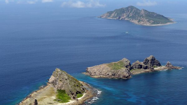
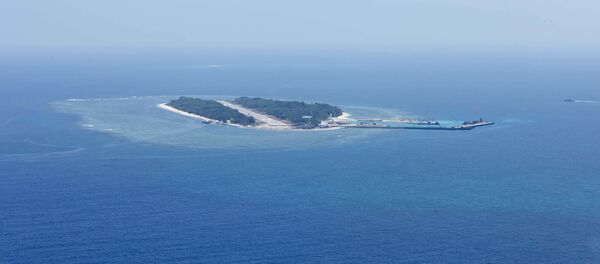
The South China Sea, which Beijing claims to be its sovereign territory, has some 12,186 islands dispersed across the area of over 3,000 square kilometers, with some of them located over a thousand kilometers away from the mainland China.
"Reefs and islands are important parts of our national territory,” Li Yingcheng, general manager of China TopRS Technology Co. Ltd said as quoted by Chinese state-run People’s Daily newspaper. “Precise information of their geology is crucial evidence for the demarcation of territorial waters and for safeguarding national maritime interests and security."
To achieve the goal of monitoring remote and difficult of approach islands, Chinese engineers have designed two unmanned aircraft systems (UAS), ZC-5B and ZC-10, Li said. The drones are equipped with Beidou navigation system, a Chinese analogue of the Google system, and can cover in full territories of up to 80 nautical miles and partially areas spread across 1,500 nautical miles.
The ZC-5B, Li stressed, was specifically designed to map and survey open sea reefs. It has an operating range of 1,400 km and can work up to 30 hours.
The news comes as tensions over contested territories remain high in the region. The South China Sea has been a bone of contention in Southeastern Asia, with some six nations, including the Philippines, Brunei, Malaysia, Vietnam, Taiwan and China having overlapping territorial claims there.
Since then the other long-living dispute in the East China Sea between China and Japan, has exacerbated sharply. Both sides accused each other of a military buildup in the area and a number of trespassing.


