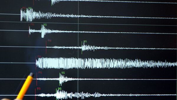
MOSCOW (Sputnik) — According to the report, the shocks were registered at 17:06 GMT with the epicenter located 72 kilometers (some 45 miles) south-west of the city of Pariaman at the depth of 49.5 kilometers.
Map of the testimonies received so far following the #earthquake M6.2 in Kep. Mentawai Region, Indonesia 40 min ago pic.twitter.com/LDwFz7NfCK
— EMSC (@LastQuake) August 31, 2017
Felt #earthquake M6.2 strikes 81 km W of #Padang (#Indonesia) 11 min ago. Please report to: https://t.co/V0GfqY7GeX pic.twitter.com/WOHlmKCSSq
— Media Center (@infobencana) August 31, 2017
No information on casualties or destruction had been received so far, the report said.
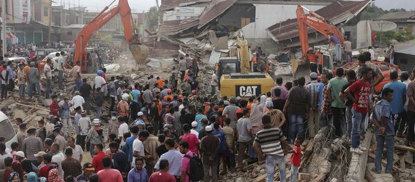
Indonesia is located in the so-called Ring of Fire quake zone where a large number of earthquakes and volcanic eruptions occur. Hundreds of thousands died in 2004 when a record quake hit the Aceh region, triggering a tsunami.
The deadliest one occurred in late 2016, when at least 97 residents of the Indonesian island of Sumatra died as a result of a 6.5-magnitude quake in Aceh province.


