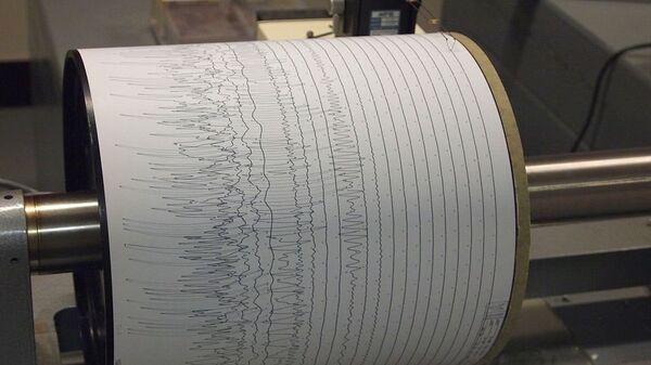
A 6.0 magnitude earthquake hit Sulawesi, Indonesia on 19 January, the European-Mediterranean Seismological Centre (EMSC) said, adding that the tremor took place about 116 kilometres (72 miles) southeast of Gorontalo at a depth of about 131 kilometres (81 miles).
However, US Geological Survey reported that the 6.0 quake occurred 59 kilometres (36 miles) southwest of Molibagu, Indonesia, at a depth of 118 kilometres (73 miles).
There have been no immediate reports about damages or casualties due to the earthquake and no tsunami threat has been issued.
⚠
— ✞he Beginning of Sorrows (@BillyNightTrain) January 19, 2020
Luke 21:11 And great earthquakes shall be in divers places,⬅ and famines, and pestilences; and fearful sights and great signs shall there be from heaven.
6.0 - Minahassa Peninsula, Sulawesi (Indonesia) - Sun, 19 Jan 2020 16:58:20 UTC (11:58 EST) https://t.co/PVvER7UtHc pic.twitter.com/rwZxsng9uT
Indonesia is part of the "Pacific Ring of Fire", a major area in the basin of the Pacific Ocean, which is a seismic zone, known for its powerful earthquakes.


