

According to historians, Pompeii and neighboring regions were almost completely devastated in the notorious eruption of the nearby Vesuvius volcano in 79 A.D. A new discovery claims, however, that news of the calamity reached Rome in just one day, enabling survivors to evacuate quickly, The Daily Express reported, citing historian Dan Snow.
While the people of Stabiae - an ancient city situated near the modern town of Castellammare di Stabia near Pompei - could return to their place in the weeks after the eruption, the destruction in Pompeii and Herculaneum was too great, according to Snow.
“To discover what happened to the inhabitants who escaped those towns, we need to look at the area of the opposite side of Vesuvius, which survived relatively unscathed. Roman Naples is hidden under the modern city, but 10 miles (16 kilometers) west are the exposed ruins of Cuma, a city which was two-and-a-half times bigger than Pompei", Snow said, cited by The Daily Express.
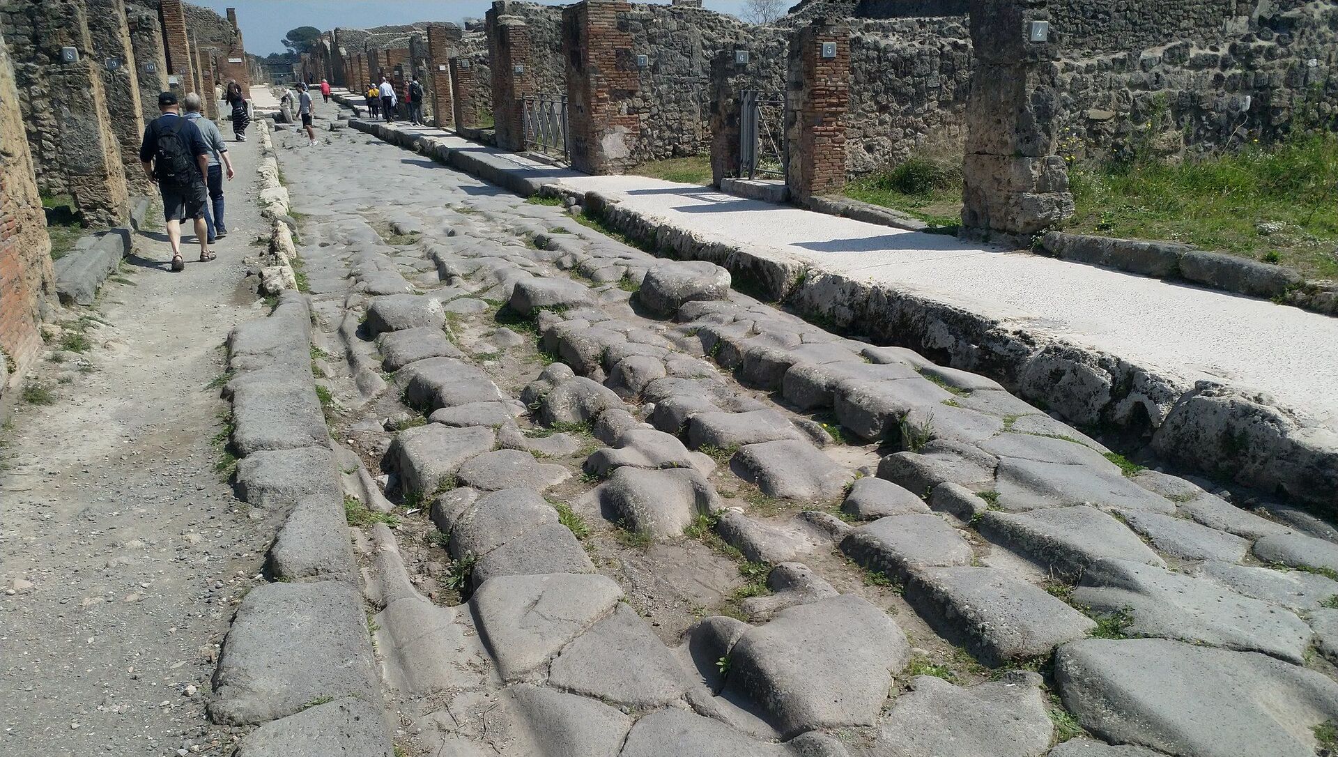
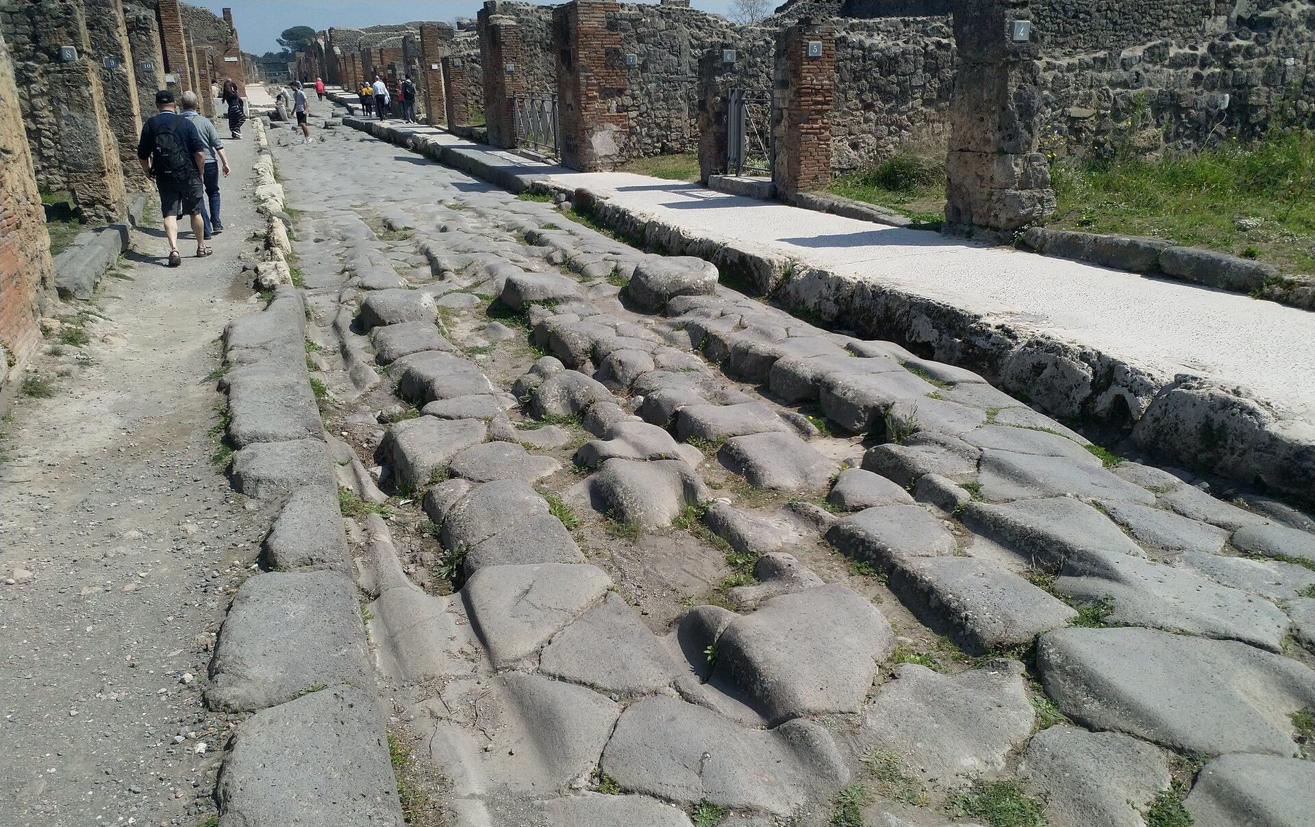
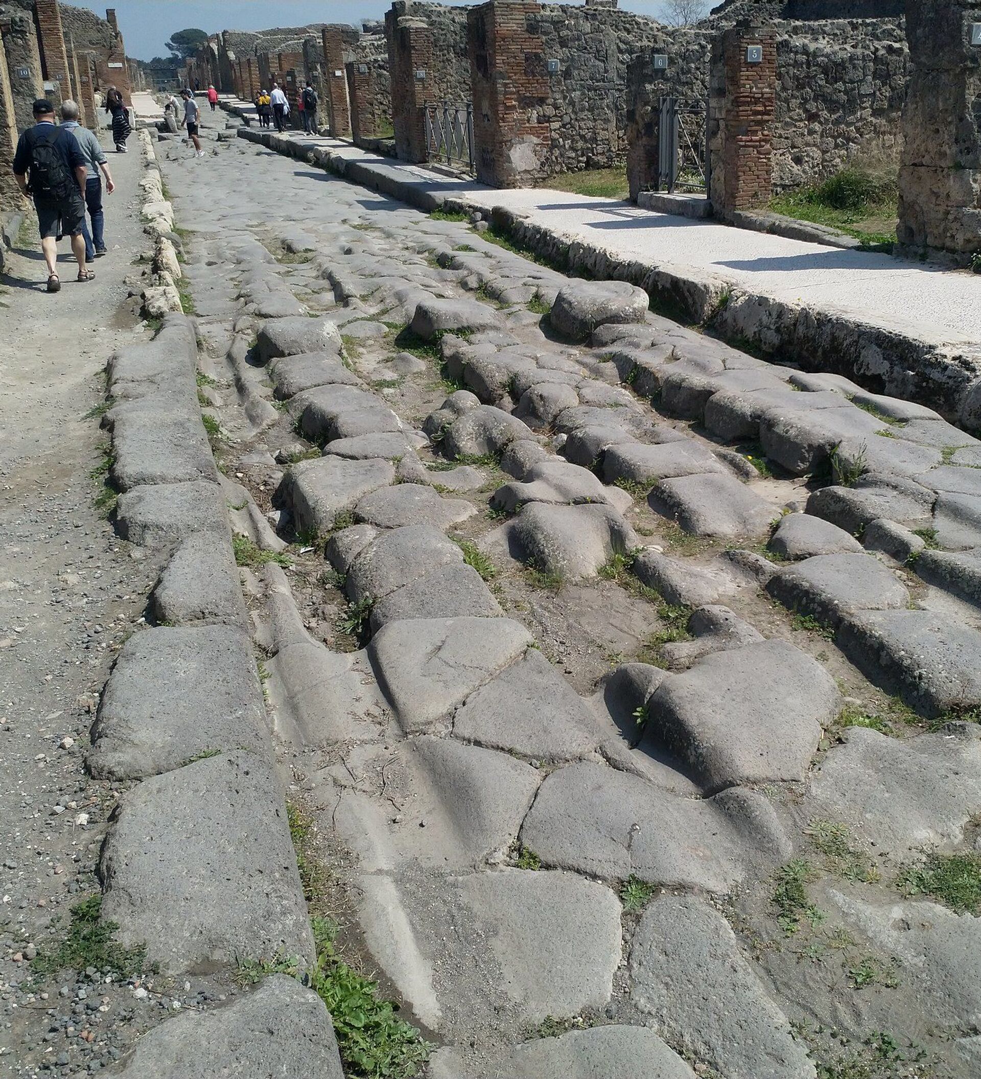
Snow revealed, using an ancient Roman map, how the elaborate network of ancient roads efficiently functioned.
“This is the road that leads from Pompeii in the south, through Cuma to Rome in the north, and it was along this road that the survivors traipsed – refugees beginning the process of rebuilding their shattered lives. It was also along this road that news of the disaster spread from Pompeii to Rome in less than a day, thanks to the remarkable Roman Imperial Postal Service – the cursus publicus. The postal networks spanned the empire and can be seen on an extraordinary map called the Tabula Peutingeriana", Snow explained.
Snow suggested that the original version of the map was created before the notorious calamity in Pompeii, adding that the scroll proves that the Roman Empire had a very unique and developed transport and communication system at the time.

Snow also alleged details of how Emperor Titus could have quickly called for aid and relief measures, right after the Pompeii eruption, thanks to this efficient road network.
“The Roman historian Suetonius said that Titus showed not only the concern of an emperor, but the deep love of a father. He sent aid from the imperial coffers, and two senators down to oversee relief effort. He also visited the area twice in the year that followed himself, probably staying here in Cuma”.

