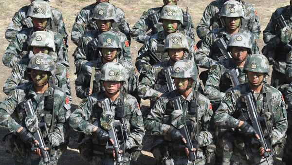
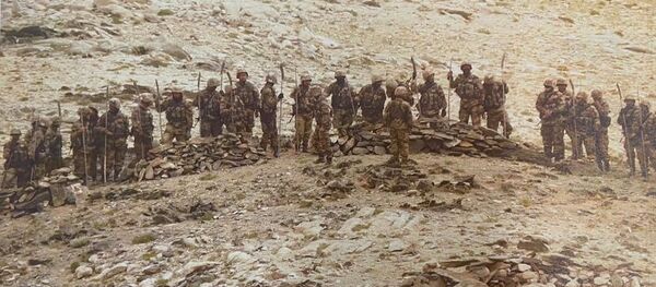
Satellite images have allegedly captured China’s People’s Liberation Army (PLA) occupying and creating new posts on the South Bank of Pangong Lake, where India and China are engaged in a dangerous stand-off, NDTV has revealed.
The Chinese military has also consolidated existing infrastructure along the northern shores of Pangong Lake, where more PLA troops have occupied the ridge lines and amassed troops, reports suggest.
Sattelite images show additional infrastructure Chinese build-up at #PangongTso between July to September.
— Shweta Sharma (@Ss22Shweta) September 10, 2020
PC: @Maxar pic.twitter.com/VX9uiQJxu4
The satellite images procured by India's news channel NDTV show that there is no pullback at Finger 4, from where Chinese troops partially disengaged after rounds of diplomatic talks over the last few months.
The additional buildup of Chinese trucks and tents less than a kilometre away from the Line of Actual Control (LAC) on the southern side of Pangong Lake was also revealed in the satellite imagery.
New posts have been occupied in the South Bank of Pangong Lake with additional buildup. pic.twitter.com/ZLkrRItezG
— Shweta Sharma (@Ss22Shweta) September 10, 2020
According to reports, China has intruded about 8 km on the north bank of Pangong Lake and PLA troops are dominating the ridges in the finger area of the lake.
Indian troops have been restricted from patrolling beyond Finger 4 since April, after China amassed troops. Traditionally, India used to patrol up to Finger 8 where it claims the LAC is. However, China lays claim up to Finger 4 and dominates the area.
This development has come prior to potential talks between India’s External Affairs Minister S Jaishankar and Chinese counterpart Wang Yi today to defuse tensions amid border hostilities.


