https://sputnikglobe.com/20220126/massive-noreaster-expected-to-strike-us-east-coast-may-bring-over-one-foot-of-snow-1092518466.html
Massive Nor’Easter Expected to Strike US East Coast May Bring Over One Foot of Snow
Massive Nor’Easter Expected to Strike US East Coast May Bring Over One Foot of Snow
Sputnik International
A foot or more of snow could hit New York this weekend, with other parts of the US East Coast such as New England, being affected, as well. But forecasters say... 26.01.2022, Sputnik International
2022-01-26T01:18+0000
2022-01-26T01:18+0000
2022-08-06T13:28+0000
snowstorm
east
snow
winter storm
us
https://cdn1.img.sputnikglobe.com/img/07e6/01/08/1092122015_0:160:3072:1888_1920x0_80_0_0_1c7cb4b5d611456be2a36405374b037d.jpg
AccuWeather senior meteorologist Adam Douty told The New York Post that New York is likely to see some accumulation, as well as high winds starting late Friday and heading into early Saturday.“The key point at this time is there’s going to be a big storm, but the impact all depends on where it’s going to track along the East Coast,” Douty said. He also reported winds should be between 50 mph and 70 mph, hitting areas hard with snow.The areas of the region which would be most heavily impacted would include Maine and the rest of New England, but other parts of the East Coast will feel some effects too, with the storm reaching as far south as North Carolina.Although meteorologist reports are still split on how the storm will hit certain areas, the Weather Prediction Center noted, “It is becoming more likely that it will bring significant snow, sleet and freezing rain to the region, including the I-95 metropolitan areas.”According to Douty, those planning to travel this weekend should closely monitor the forecast and be prepared to adjust their plans. People living on the coastlines of New Jersey and New England may also have to prepare in case of power outages and flooding, which is likely in the event of a nor’easter.If there is an intense drop in barometric pressure, the nor’easter could transform into a bomb cyclone.Boston’s weather service office reported Tuesday that some models have forecasted the storm to pass over the 70/40 Benchmark, referring to the map intersections of 40 degrees north latitude and 70 degrees west longitude, where, if it hits this particular area, would bring large amounts of snowfall to the Northeast Corridor.Eight to twelve inches of snow could fall on the southern areas of New England.Due to the storm, there is a 40% chance that our nation’s capital will see an inch of snow between Friday night and Saturday morning, with some believing it will end Saturday morning.
east
Sputnik International
feedback@sputniknews.com
+74956456601
MIA „Rossiya Segodnya“
2022
News
en_EN
Sputnik International
feedback@sputniknews.com
+74956456601
MIA „Rossiya Segodnya“
Sputnik International
feedback@sputniknews.com
+74956456601
MIA „Rossiya Segodnya“
snowstorm, east, snow, winter storm, us
snowstorm, east, snow, winter storm, us
Massive Nor’Easter Expected to Strike US East Coast May Bring Over One Foot of Snow
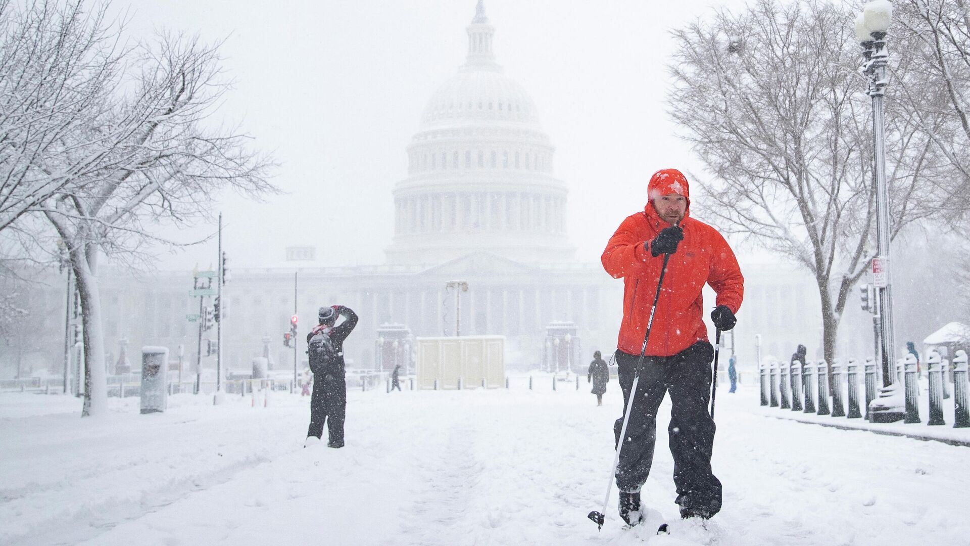
01:18 GMT 26.01.2022 (Updated: 13:28 GMT 06.08.2022) A foot or more of snow could hit New York this weekend, with other parts of the US East Coast such as New England, being affected, as well. But forecasters say the nor’easter’s exact track still remains unclear.
AccuWeather senior meteorologist Adam Douty told The New York
Post that New York is likely to see some accumulation, as well as high winds starting late Friday and heading into early Saturday.
“The key point at this time is there’s going to be a big storm, but the impact all depends on where it’s going to track along the East Coast,” Douty said. He also reported winds should be between 50 mph and 70 mph, hitting areas hard with snow.
“If it tracks far enough to the west, it’s going to lead to more significant impacts,” Douty said. “But if it tracks a few hundred miles further off the coast, then you’ll have the fringe effects on the other side of it.”
The areas of the region which would be most heavily impacted would include Maine and the rest of New England, but other parts of the East Coast will feel some effects too, with the storm reaching as far south as North Carolina.
Although meteorologist reports are still split on how the storm will hit certain areas, the Weather Prediction Center
noted, “It is becoming more likely that it will bring significant snow, sleet and freezing rain to the region, including the I-95 metropolitan areas.”
According to Douty, those planning to travel this weekend should closely monitor the forecast and be prepared to adjust their plans. People living on the coastlines of New Jersey and New England may also have to prepare in case of power outages and flooding, which is likely in the event of a nor’easter.
If there is an intense drop in barometric pressure, the nor’easter could transform into a bomb
cyclone.
Boston’s weather service office reported Tuesday that some models have forecasted the storm to pass over the 70/40 Benchmark, referring to the map intersections of 40 degrees north latitude and 70 degrees west longitude, where, if it hits this particular area, would bring large amounts of snowfall to the Northeast Corridor. Eight to twelve inches of snow could fall on the southern areas of New England.
Due to the storm, there is a
40% chance that our nation’s capital will see an inch of snow between Friday night and Saturday morning, with some believing it will end Saturday morning.


