https://sputnikglobe.com/20220712/emsc-magnitude-66-earthquake-rattles-easter-island-1097248013.html
EMSC: Magnitude 6.6 Earthquake Rattles Easter Island
EMSC: Magnitude 6.6 Earthquake Rattles Easter Island
Sputnik International
The last earthquakes registered specifically in the Easter Island region were in June, both coming in just below magnitude 5. The first quake of the year was... 12.07.2022, Sputnik International
2022-07-12T19:42+0000
2022-07-12T19:42+0000
2022-07-12T20:20+0000
earthquake
easter island
https://cdn1.img.sputnikglobe.com/img/07e5/03/04/1082255122_0:159:3077:1890_1920x0_80_0_0_b4c2a55e3061cab6eb49d884e365d6a1.jpg
A magnitude 6.6 earthquake rattled the remote volcanic island of Easter Island on Tuesday, an alert issued by the European-Mediterranean Seismological Centre revealed.The quake was initially registered as a magnitude 7 when it was recorded as striking at a depth of 33 kilometers. Citing preliminary findings, the Hydrographic and Oceanographic Service of the Chilean Navy has stated there is no present threat of a tsunami.An aftershock came in at a magnitude 5.2 about 12 minutes after the initial quake was detected.Easter Island, otherwise known as Rapa Nui, is home to several thousand individuals, and is considered Chilean territory. The island has been categorized as a national park by officials and sees about 100,000 travelers yearly, most of whom travel to explicitly get a glimpse of the Moai sculptures.However, lying along a convergent tectonic plate, the region and the Chilean mainland is no stranger to earthquakes. On any given day the area can register several dozens small quakes and tremors. The last major quake to strike took place in 2010 and registered at a magnitude 8.8 in Chile's Valdivia region, and was followed by a powerful tsunami. The event caused the deaths of over 500 individuals.
easter island
Sputnik International
feedback@sputniknews.com
+74956456601
MIA „Rossiya Segodnya“
2022
Sputnik International
feedback@sputniknews.com
+74956456601
MIA „Rossiya Segodnya“
News
en_EN
Sputnik International
feedback@sputniknews.com
+74956456601
MIA „Rossiya Segodnya“
Sputnik International
feedback@sputniknews.com
+74956456601
MIA „Rossiya Segodnya“
earthquake, easter island
earthquake, easter island
EMSC: Magnitude 6.6 Earthquake Rattles Easter Island
19:42 GMT 12.07.2022 (Updated: 20:20 GMT 12.07.2022) The last earthquakes registered specifically in the Easter Island region were in June, both coming in just below magnitude 5. The first quake of the year was recorded on January 13.
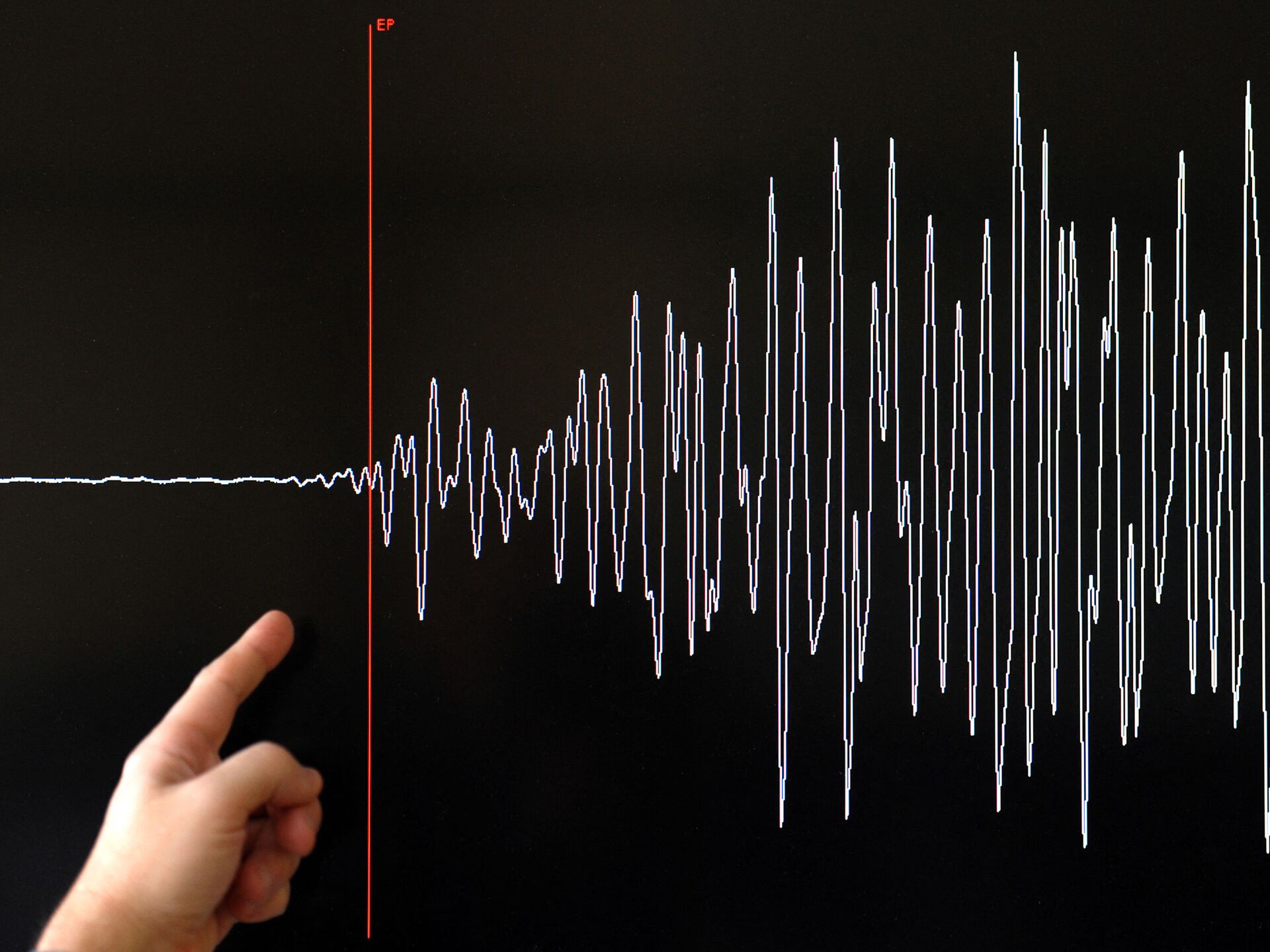
A magnitude 6.6 earthquake rattled the remote volcanic island of Easter Island on Tuesday, an alert issued by the European-Mediterranean Seismological Centre revealed.
The quake was initially registered as a magnitude 7 when it was recorded as striking at a depth of 33 kilometers.
Citing preliminary findings, the Hydrographic and Oceanographic Service of the Chilean Navy has stated there is no present threat of a tsunami.
An aftershock came in at a magnitude 5.2 about 12 minutes after the initial quake was detected.
Easter Island, otherwise known as Rapa Nui, is home to several thousand individuals, and is considered Chilean territory. The island has been categorized as a national park by officials and sees about 100,000 travelers yearly, most of whom travel to explicitly get a glimpse of the Moai sculptures.
However, lying along a convergent tectonic plate, the region and the Chilean mainland is no stranger to earthquakes.
On any given day the area can register several dozens small quakes and tremors. The last major quake to strike took place in 2010 and registered at a magnitude 8.8 in Chile's Valdivia region, and was followed by a powerful tsunami. The event caused the deaths of over 500 individuals.


