https://sputnikglobe.com/20230815/laser-mapping-unveils-hidden-secrets-of-wwii-battle-of-the-bulge-1112599500.html
Laser Mapping Unveils Hidden Secrets of WWII Battle of The Bulge
Laser Mapping Unveils Hidden Secrets of WWII Battle of The Bulge
Sputnik International
In a groundbreaking study, researchers have harnessed the power of laser-based remote sensing technology, known as lidar, to unveil long-buried traces of the Battle of the Bulge.
2023-08-15T03:58+0000
2023-08-15T03:58+0000
2023-08-15T03:58+0000
beyond politics
science & tech
belgium
ww2
wwii
history
https://cdn1.img.sputnikglobe.com/img/07e7/08/0f/1112599229_0:31:397:254_1920x0_80_0_0_303f76fd9292cebcf0b0ec3934328535.jpg
Newly published findings have revealed how researchers harnessed the power of laser-based remote sensing technology, known as lidar, to unveil long-buried traces of the Battle of the Bulge, a pivotal World War II confrontation.Lidar technology, which involves beaming lasers from aircraft, drones, or satellites to measure surface reflections, was employed to pierce through the dense forest canopy of the Ardennes. The research team, led by archaeologist Birger Stichelbaut from Ghent University, utilized a high-resolution lidar scanner attached to a drone to create a comprehensive 3D map of the battlefield.The innovative approach revealed nearly 1,000 hidden archaeological features, including foxholes, dugouts, trenches, bomb craters and artillery emplacements, which remained concealed for decades. The findings provide fresh insights into the specific dynamics of the battle, shedding light on skirmishes and tactics that took place.For example, the discovery of a US artillery emplacement confirmed its position based on its distinct shape and orientation towards advancing German troops. The physical exploration of the site also uncovered artifacts such as spent firearm cartridges and German steel hand grenades.Beyond the immediate battle details, the study also illuminated how the landscape influenced the course of the conflict. The majority of the detected features were positioned around the forest's edge, offering strategic advantages for troops seeking cover. The latest revelation offers a unique perspective on the tactical considerations that shaped the battle's outcome.The researchers anticipate their findings will contribute to increased recognition and protection of the Ardennes Forest as a heritage site. Officials are also optimistic about incorporating machine-learning techniques to accelerate the mapping and interpretation of larger areas. By doing so, the researchers aim to safeguard this historically significant landscape and provide a deeper understanding of World War II's global narrative.The findings of the study were published in the Antiquity journal.
https://sputnikglobe.com/20230811/14000-evacuated-in-lublin-after-wwii-era-bomb-found-near-majdanek-concentration-camp-1112539912.html
belgium
Sputnik International
feedback@sputniknews.com
+74956456601
MIA „Rossiya Segodnya“
2023
News
en_EN
Sputnik International
feedback@sputniknews.com
+74956456601
MIA „Rossiya Segodnya“
Sputnik International
feedback@sputniknews.com
+74956456601
MIA „Rossiya Segodnya“
battle of the bulge history, waht are landscape studies, ww2 belgium history, how is lidar scanner used, ww2 west front famous operation, ww2 ardennes belgium fights
battle of the bulge history, waht are landscape studies, ww2 belgium history, how is lidar scanner used, ww2 west front famous operation, ww2 ardennes belgium fights
Laser Mapping Unveils Hidden Secrets of WWII Battle of The Bulge
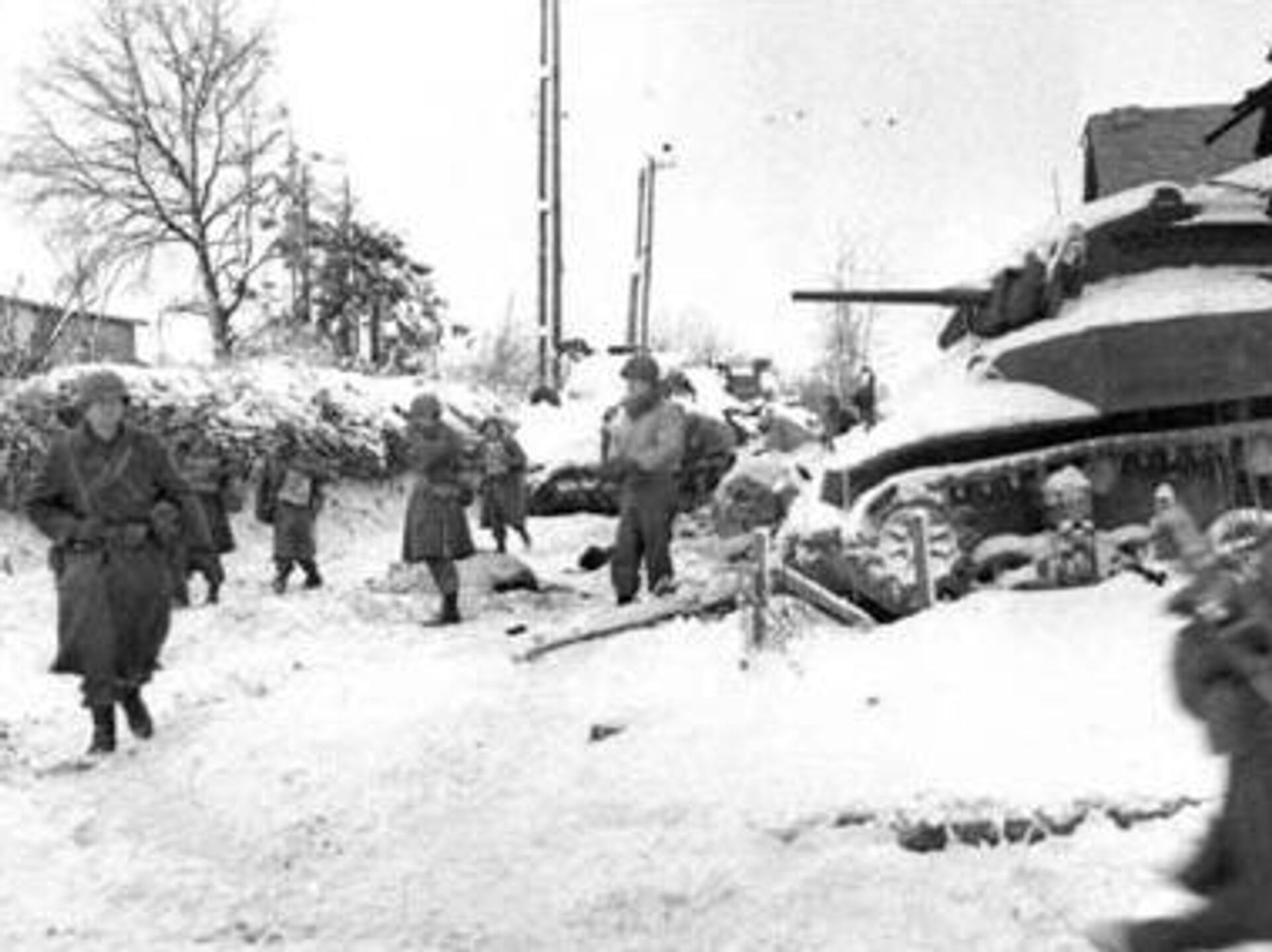
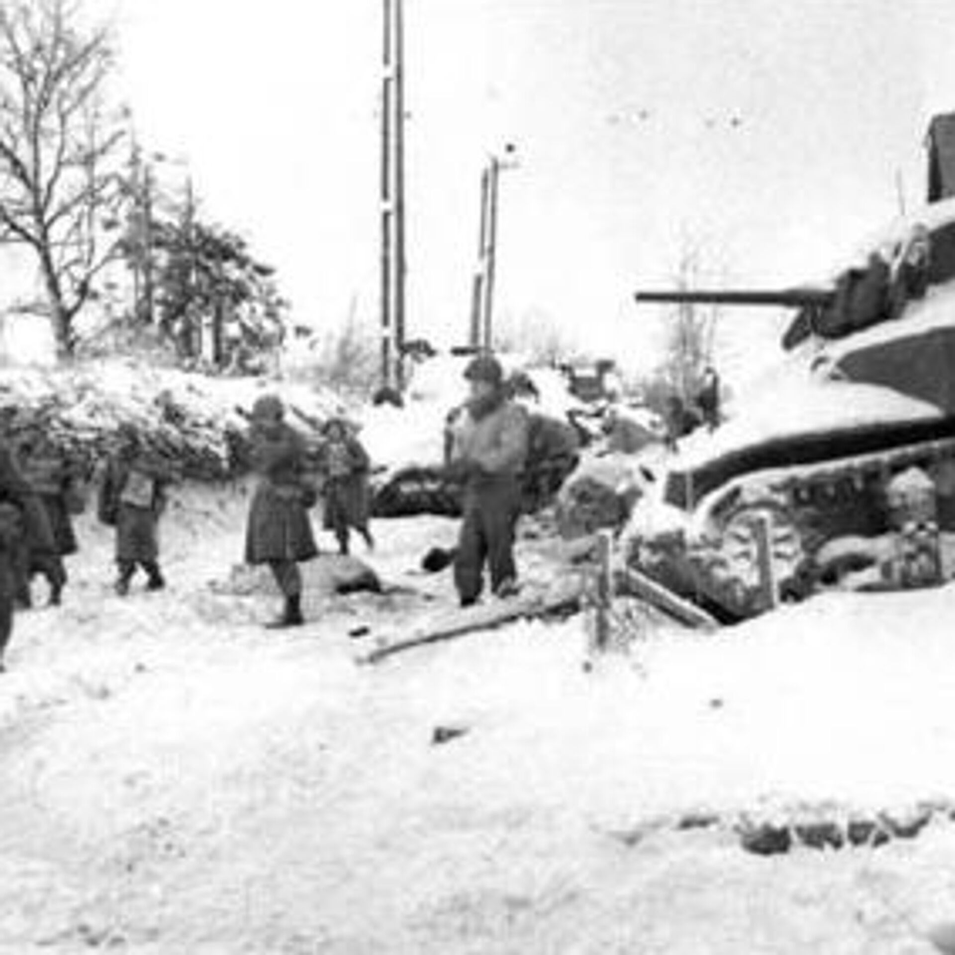
Marked by its bloody intensity, the Battle of the Bulge unfolded in the Ardennes region of Belgium in the winter of 1944. Now, new research has shed light on the intricate details of the battle's impact on the landscape.
Newly published findings have revealed how researchers harnessed the power of laser-based remote sensing technology, known as lidar, to unveil long-buried traces of the Battle of the Bulge, a pivotal World War II confrontation.
Lidar technology, which involves beaming lasers from aircraft, drones, or satellites to measure surface reflections, was employed to pierce through the dense forest canopy of the Ardennes. The research team, led by archaeologist Birger Stichelbaut from Ghent University, utilized a high-resolution lidar scanner attached to a drone to create a comprehensive 3D map of the battlefield.
The innovative approach revealed nearly 1,000 hidden archaeological features, including foxholes, dugouts, trenches, bomb craters and artillery emplacements, which remained concealed for decades. The findings provide fresh insights into the specific dynamics of the battle, shedding light on skirmishes and tactics that took place.
"Normally you’d first have to locate yourself and then do the mapping. But now it happens all at once, and this is much faster," said Ghent University researcher Dries Couke, a co-author of the new study.
For example, the discovery of a US artillery emplacement confirmed its position based on its distinct shape and orientation towards advancing German troops. The physical exploration of the site also uncovered artifacts such as spent firearm cartridges and German steel hand grenades.
11 August 2023, 16:36 GMT
Beyond the immediate battle details, the study also illuminated how the landscape influenced the course of the conflict. The majority of the detected features were positioned around the forest's edge, offering strategic advantages for troops seeking cover. The latest revelation offers a unique perspective on the tactical considerations that shaped the battle's outcome.
However, the lidar technology has limitations, as it only detects surface features and cannot reveal buried artifacts. Additionally, some parts of the Ardennes Forest have been altered by logging over the years, potentially causing the loss of significant evidence.
The researchers anticipate their findings will contribute to increased recognition and protection of the Ardennes Forest as a heritage site. Officials are also optimistic about incorporating machine-learning techniques to accelerate the mapping and interpretation of larger areas.
By doing so, the researchers aim to safeguard this historically significant landscape and provide a deeper understanding of World War II's global narrative.
The findings of the study were published in the
Antiquity journal.


