https://sputnikglobe.com/20240207/all-clear-russia-rolls-out-swarm-of-mine-detecting-drones--1116642603.html
All Clear: Russia Rolls Out Swarm of Mine-Detecting Drones
All Clear: Russia Rolls Out Swarm of Mine-Detecting Drones
Sputnik International
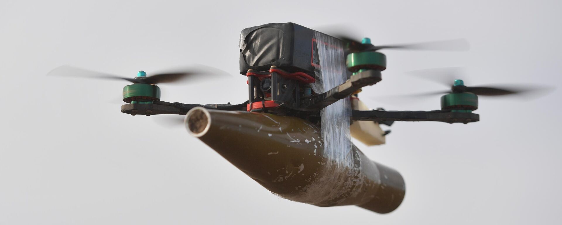
Various types of drones, which are currently at service in the Russian Armed Forces, are designed for many purposes, including surveillance and surgical strikes on enemy.
2024-02-07T14:08+0000
2024-02-07T14:08+0000
2024-02-07T14:08+0000
military
russia
chechen republic
drones
mines
areas
https://cdn1.img.sputnikglobe.com/img/07e8/02/07/1116641950_0:186:2981:1863_1920x0_80_0_0_8f552100ba798dca09024220be666b98.jpg
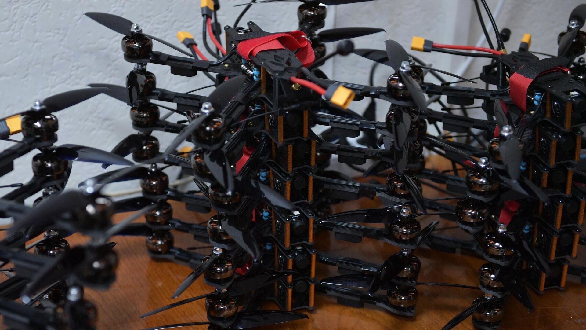
Developers from Grozny have created a swarm of drones to help sappers clear mines.The unmanned aerial vehicles (UAVs) and their software have been hammered out in a startup studio of the Grozny State Petroleum Technical University, also known by its Russian acronym GGNTU, in the capital of the Chechen Republic in Russia’s North Caucasus.The swarm includes ten ultra-light drones capable of swiftly scanning a large area and building a map of mines for further demining of hard-to-reach areas.According to him, the UAVs will be controlled with the help of a hybrid positioning system, which combines satellite and local communication systems. It allows the drones in flight to exchange information about obstacles in the area and adjust the trajectory of movement, something that facilitates rapid scanning of the territories.
https://sputnikglobe.com/20240206/brains-for-drones-russia-unveils-first-domestically-made-onboard-uav-computer-1116620021.html
russia
chechen republic
Sputnik International
feedback@sputniknews.com
+74956456601
MIA „Rossiya Segodnya“
2024
Oleg Burunov
https://cdn1.img.sputnikglobe.com/img/07e4/09/0b/1080424846_0:0:2048:2048_100x100_80_0_0_3d7b461f8a98586fa3fe739930816aea.jpg
Oleg Burunov
https://cdn1.img.sputnikglobe.com/img/07e4/09/0b/1080424846_0:0:2048:2048_100x100_80_0_0_3d7b461f8a98586fa3fe739930816aea.jpg
News
en_EN
Sputnik International
feedback@sputniknews.com
+74956456601
MIA „Rossiya Segodnya“
Sputnik International
feedback@sputniknews.com
+74956456601
MIA „Rossiya Segodnya“
Oleg Burunov
https://cdn1.img.sputnikglobe.com/img/07e4/09/0b/1080424846_0:0:2048:2048_100x100_80_0_0_3d7b461f8a98586fa3fe739930816aea.jpg
russian armed forces, unmanned aerial vehicles, detection of mines by russian swarm of drones, creation of russian swarm of drones
russian armed forces, unmanned aerial vehicles, detection of mines by russian swarm of drones, creation of russian swarm of drones
All Clear: Russia Rolls Out Swarm of Mine-Detecting Drones
Various types of drones currently in the service in the Russian Armed Forces are designed for many purposes, including surveillance and surgical strikes.
Developers from Grozny have created a swarm of drones to help sappers clear mines.
The unmanned aerial vehicles (UAVs) and their software have been hammered out in a startup studio of the Grozny State Petroleum Technical University, also known by its Russian acronym GGNTU, in the capital of the Chechen Republic in Russia’s North Caucasus.
The swarm includes ten ultra-light drones capable of swiftly scanning a large area and building a map of mines for further demining of hard-to-reach areas.
"Since demining the areas stipulates flying at low altitudes, the UAVs will be equipped with optical systems to track and avoid obstacles," project engineer Islam Salamov told reporters.

6 February 2024, 10:04 GMT
According to him, the UAVs will be controlled with the help of a hybrid positioning system, which combines satellite and local communication systems. It allows the drones in flight to exchange information about obstacles in the area and adjust the trajectory of movement, something that facilitates rapid scanning of the territories.
"It is planned that maps of minefields will be created automatically in real-time. During the flight, a swarm of drones will transmit the coordinates and signatures of detected objects to the server, which will subsequently be transferred to a map of the area," Salamov explained.


